
3 THINGS TO KNOW
- Colder than normal Friday
- Snow showers with accumulation Saturday night-Sunday
- A warming trend for next week
FORECAST
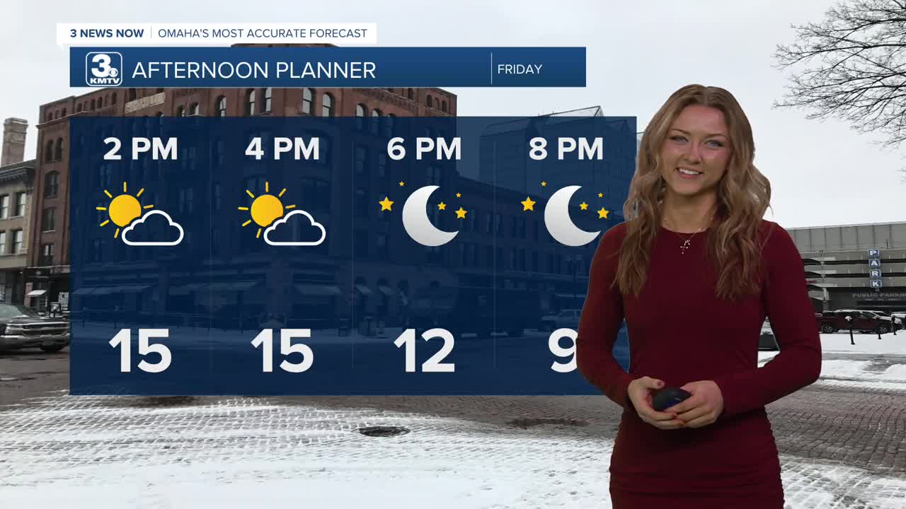
The workweek comes to a close with some sunny but cold conditions. Sporadic wind gusts from the North keep us cooler, while a high pressure system keeps clouds away.
Expect temperatures to remain frigid, with highs reaching only the mid teens by this afternoon. Heading into Friday night, temps will drop to near zero degrees, with wind chills reaching ten degrees below zero in some areas.
Saturday starts out cold, but mostly dry until the early evening with highs in the low 20s. Sunday will be even warmer, reaching the mid to upper 30s.
Snow is expected to move in to the region starting early Saturday night through Sunday morning, with amounts around 1-2 inches. Travel impacts are not expected Saturday, but there could be some minor impacts depending on how heavy the snow is on Sunday morning. Sunday's temperatures are expected to rise above freezing, so a lot of the snow will melt later in the day.
If you are wanting even warmer weather, we should start to see that return next week.
Monday will be partly sunny with highs in the mid 30s. There is a chance for more light snow Tuesday with mid 30s for highs. By the end of the week, the pattern will be drier with highs nearing 40 degrees around Friday.
FRIDAY
Sunny
Colder Air
High: 15
Wind: NE 10-15
FRIDAY NIGHT
Partly Cloudy
Cold & Breezy
Low: -2
Wind: S 5-10
SATURDAY
Partly Cloudy
Early Evening Snow Showers
High: 21
Wind: S 5-10
Share your weather pictures with KMTV:
- Email to News@3newsnow.com
- 3 News Now Facebook page
- Use the hashtag #3NewsNow on Instagram or X (formerly Twitter)
