
3 THINGS TO KNOW
- A warm-up begins Thursday
- Breezy winds above 25-30mph Thursday through Saturday
- A drier pattern for the next 5-7 days
FORECAST
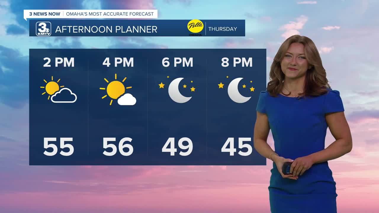
As clouds clear out, expect highs in the mid 50s, with some areas even seeing a possible 60! It could get a little breezy in the afternoon with gusts around 25-30mph.
We cool off a little on Friday and it stays breezy, but we keep the sunshine with highs in the upper 40s.
This looks to be a quiet first weekend of February, and milder, too!
Saturday will be partly cloudy and breezy with highs in the upper 40s, turning mostly sunny and less windy Sunday with highs in the mid 50s.
With these warmer temperatures does come the threat of ice jams. A flood watch is in effect for Platte, Elkhorn, and Loup Rivers.
The start of next week looks very warm with potential record highs, in the mid 60s on Monday. Monday's record high for Omaha is 63 degrees. There is a chance for some rain around mid next week.
THURSDAY
Mostly Sunny
Breezy
High: 55
Wind: NW 10-20
THURSDAY NIGHT
Mostly Cloudy
Staying Dry
Low: 35
Wind: NE 5-10
FRIDAY
Partly Cloudy
Breezy
High: 47
Wind: NW 10-20
Share your weather pictures with KMTV
- Email to News@3newsnow.com
- 3 News Now Facebook page
- Use the hashtag #3NewsNow on Instagram or X (formerly Twitter)
