
3 THINGS TO KNOW
- Cooler Tuesday with snow flurries
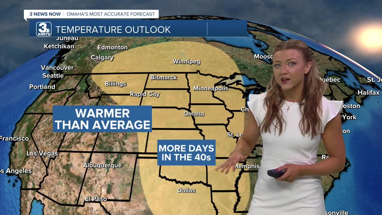
- Breezy and warmer later this week
- A drier pattern for the next 5-7 days
FORECAST
Tuesday will be a cloudy day and there will be a few more pockets of snow flurries around, these flurries are short lived and very sporadic. Chances for these flurries begin this afternoon and will last overnight.
The clouds stick around Wednesday and it gets a little breezy in the afternoon with highs in the upper 30s.
Temperatures will jump on Thursday and we'll see more sunshine, with many neighborhoods reaching the 50s! This is due to a ridging pattern that settles over the North central region, allowing lots of sunshine and westerly flow to warm us up.
Friday stays warm, in the mid-40s, and it's breezy.
The weekend stays relatively quiet with partly cloudy skies and highs in the mid 40s.
Any chance for measurable precipitation (rain or snow) likely holds off until sometime next week, at the earliest.
TUESDAY
Mostly Cloudy
Snow Flurries
High: 34
Wind: NE 5-10
TUESDAY NIGHT
Mostly Cloudy
Snow Flurries
Low: 25
Wind: NE 5-10
WEDNESDAY
Mostly Cloudy
Breezy
High: 38
Wind: N 10-20
Share your weather pictures with KMTV
- Email to News@3newsnow.com
- 3 News Now Facebook page
- Use the hashtag #3NewsNow on Instagram or X (formerly Twitter)
