

3 THINGS TO KNOW
- Frigid start to the weekend
- Snow showers with minor accumulation Saturday night
- A warming trend for next week
FORECAST
Saturday starts out cold, but we are mostly dry until the early evening with highs in the low 20s. Sunday will be even warmer, reaching the upper 30s across western Iowa, and low 40s across eastern Nebraska.
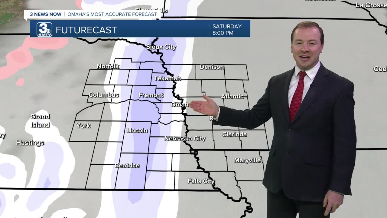
Snow is expected to move in to the region starting early Saturday night through Sunday morning, with amounts around 0-1 inches. Travel impacts should be minimal, but there could be some minor impacts depending on how much snow is still on the roads by Sunday morning. Sunday's temperatures are expected to rise above freezing, so a lot of the snow will melt later in the day.
If you are wanting even warmer weather, we should start to see that return next week.
Monday will be partly sunny with highs in the mid 30s. There is a chance for more light snow Tuesday with mid 30s for highs. By the end of the week, the pattern will be drier with highs nearing 40 degrees around Friday.
SATURDAY
Partly Cloudy
Early Evening Snow Showers
High: 24
Wind: SW 10-15
SUNDAY
Partly Cloudy
Breezy & Warmer
High: 41
Wind: W 10-15
Share your weather pictures with KMTV:
- Email to News@3newsnow.com
- 3 News Now Facebook page
- Use the hashtag #3NewsNow on Instagram or X (formerly Twitter)
