

A dangerous combination of heat and humidity is expected for the next few days. Take it easy when outside and stay hydrated. Check on your older friends, neighbors, and family members to make sure they are staying cool and safe.
Overnight, a few spotty showers begin to pop up around Omaha as we only cool off into the mid 70s for Tuesday morning.
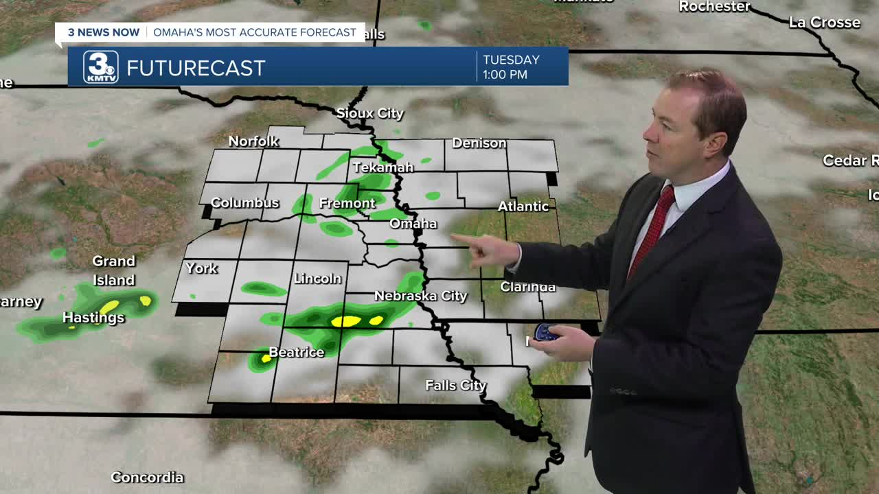
There will be a few spotty rain showers around for Tuesday morning, and this may again provide enough cloud cover to keep things a few degrees cooler in the afternoon. Regardless, once the morning rain and cloud cover clears out, temperatures will jump into the mid 90s, and the heat index will be just shy of 110 in Omaha.
Wednesday will be a little breezy with upper 90s, but thanks to a small drop in the humidity, the heat index should be closer to 105 to 108.
A cold front will arrive from the north late Wednesday night, leading to a chance at thunderstorms and more importantly, cooler weather heading into Thursday. Depending on when this front arrives, temperatures will only make it into the upper 80s Thursday afternoon.
There could be a few leftover showers and storms around Friday, but a lot of us will be dry with upper 80s.
We start to heat back up over the weekend. Saturday will be partly cloudy with low 90s, followed by mid 90s Sunday with a lot of sunshine.
The start of next week looks even hotter, with upper 90s and sunshine on Monday.
TUESDAY
Partly Cloudy
Morning Storms
Breezy & Hot
High: 96
TUESDAY NIGHT
Partly Cloudy
Staying Warm
Low: 76
WEDNESDAY
Mostly Sunny
Breezy & Hot
Storms Late
High: 98
THURSDAY
Mostly Cloudy
Spotty Storms
Cooler
High: 89
Share your weather pictures with KMTV:
- Email to News@3newsnow.com
- 3 News Now Facebook page
- Use the hashtag #3NewsNow on Instagram or X (formerly Twitter)
