

An isolated rain shower is possible this evening, but it won't amount to much. Skies will be partly cloudy tonight with temperatures in the low 60s for Thursday morning.
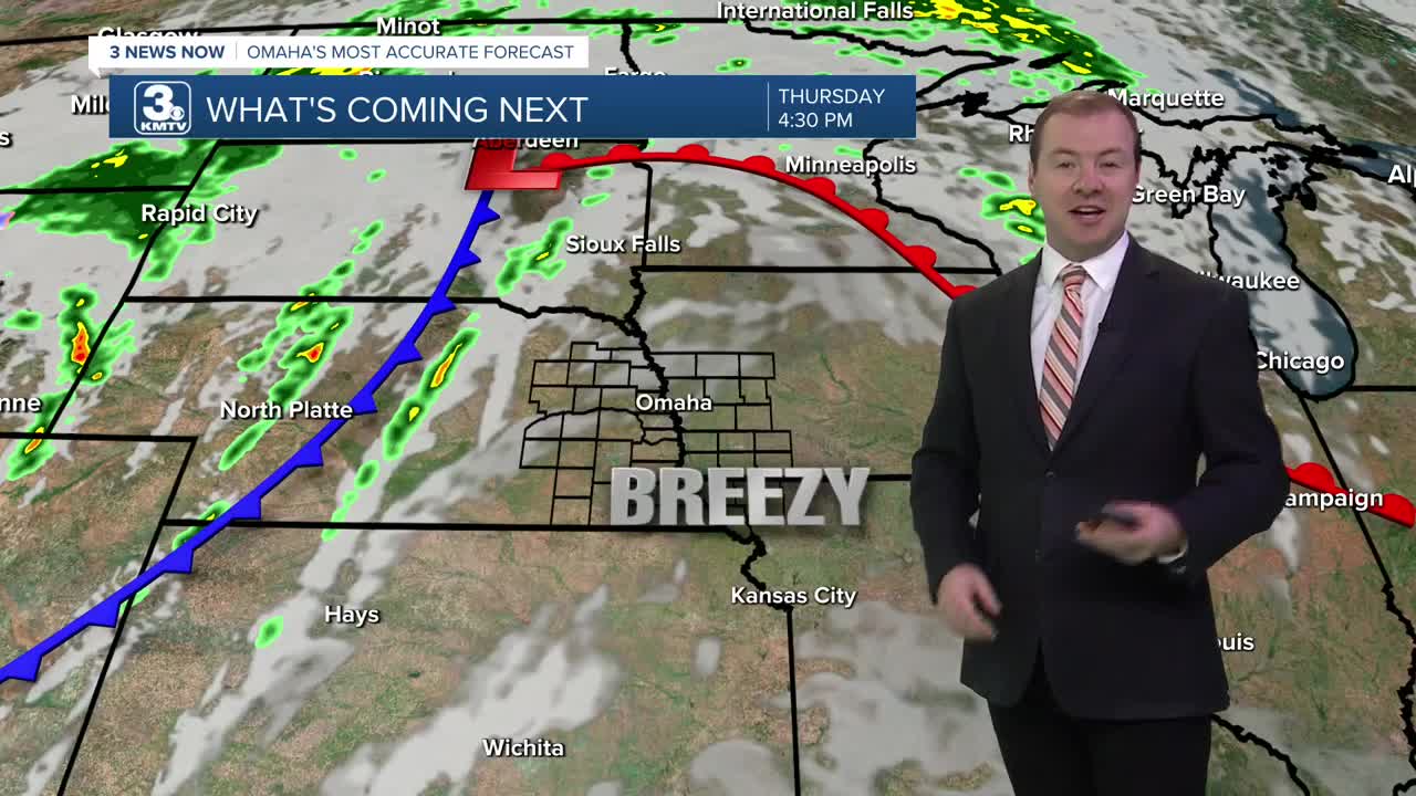
Thursday will be mostly sunny, windy and warmer with highs in the low 80s.
A cold front arrives Friday, bringing another round of scattered rain and storms. This front will drop Friday's afternoon temperatures down in the mid 70s.
Right now, it looks like about half of us will see rain, and the bulk of this rain should fall in western Iowa, exiting before our high school football games kick off in the evening. We'll be down in the low 60s by Friday evening.
Behind the cold front, the sunshine takes over for the weekend as cooler weather blows in. Saturday will be partly cloudy with highs in the upper 60s, followed by low 40s for Sunday morning.
Sunday will be sunny and near average for mid-October with mid 60s for highs.
Monday will be very comfortable with mid 70s and sunshine.
An area of low pressure will begin to move into the Midwest Tuesday, bringing cloudy, windy conditions and highs in the upper 60s. For now, we'll keep things dry for the middle of next week.
WEDNESDAY NIGHT
Partly Cloudy
Mild
Low: 63
THURSDAY
Mostly Sunny
Windy
High: 83
FRIDAY
Partly Sunny
Spotty Storms
Breezy
High: 77
Share your weather pictures with KMTV:
- Email to News@3newsnow.com
- 3 News Now Facebook page
- Use the hashtag #3NewsNow on Instagram or X (formerly Twitter)
