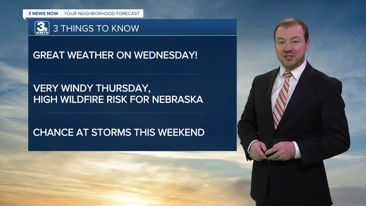


3 THINGS TO KNOW
- Great weather on Wednesday
- Windy Thursday with high wildfire danger
- Hot, Stormy pattern Thursday through the weekend
FORECAST
Evening clouds and sprinkles will clear out of the region around 8-9pm, and the gusty wind will calm overnight with morning temps in the upper 40 to near 50.
Wednesday looks great with lots of sunshine and calmer winds. Highs will be around 80 degrees.
The wind returns on Thursday as a warm front moves through the region. This may bring a few isolated rain showers in the morning, and isolated storms closer toward evening. Wind gusts could reach 35-45mph, which may heighten fire danger; avoid any outdoor burning. Highs will be in the mid 80s.
Friday looks hot and dry with mostly sunny skies and highs in the low to mid 90s. Winds will be around 20-25 mph.
The weekend is now looking stormy at times, mainly Saturday evening and again Sunday afternoon. A few of these storms could be strong. It will be a very warm weekend with highs in the low 90s Saturday, and the mid 80s on Sunday.
This wetter weather may continue into Monday with more thunderstorms and highs near 80.
The rest of next week will be drier and cooler with temps at or below average for mid-May, in the low 70s.
TUESDAY NIGHT
Mostly Clear
Comfy
Low: 49
Wind: SW 10-15
WEDNESDAY
Sunny
Warm
High: 81
Wind: NW 5-15
Share your weather pictures with KMTV:
- Email to News@3newsnow.com
- 3 News Now Facebook page
- Use the hashtag #3NewsNow on Instagram or X (formerly Twitter)
