

3 THINGS TO KNOW
- Great weather and warmer Thursday
- Severe weather possible Friday
- Short cold-snap below freezing this weekend
FORECAST
Storms from earlier in the day will stay east of the region this evening, leaving Omaha dry and mostly clear. Lows tonight will cool into the upper 40s.
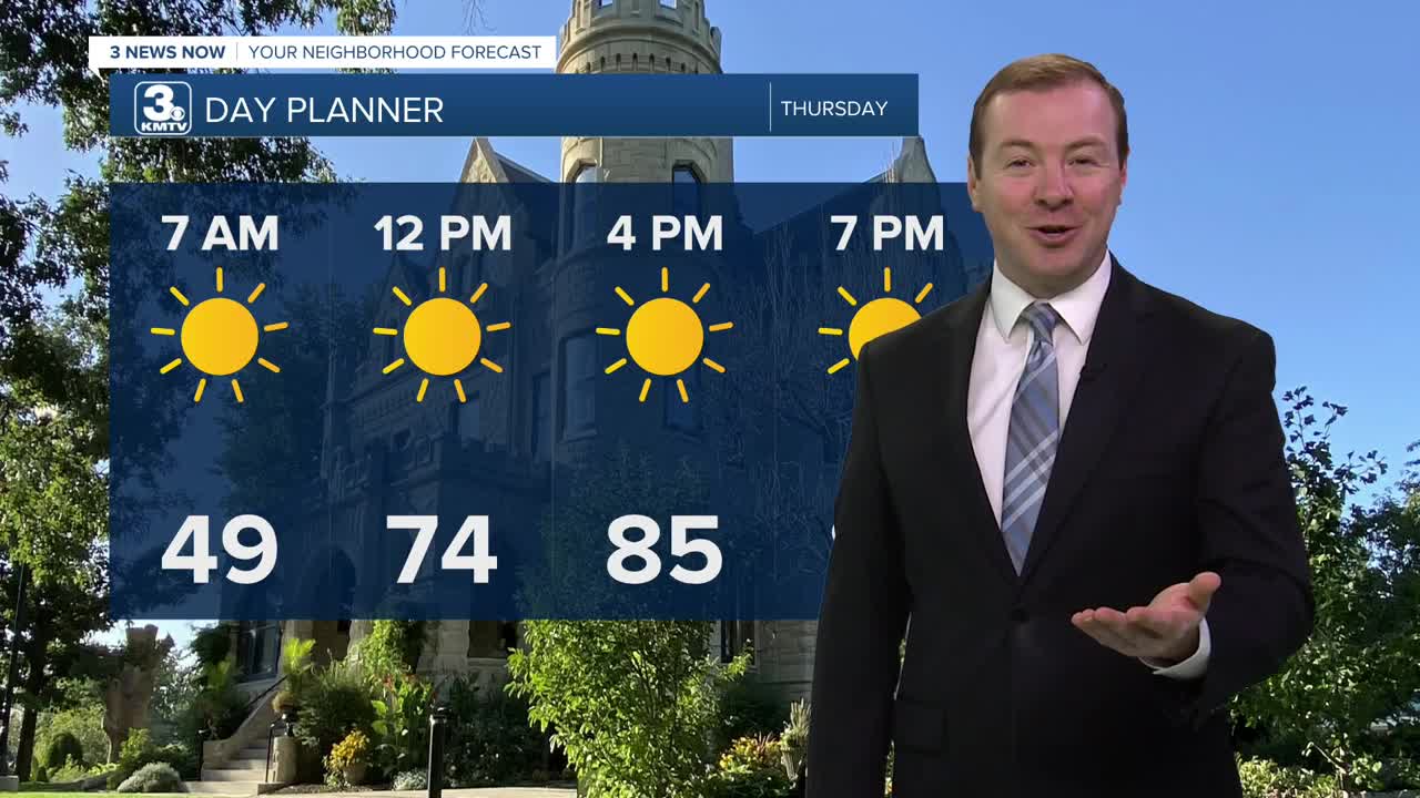
Thursday is looking like a great day with lots of sunshine, and warmer too with highs in the mid 80s.
Clouds move back in Thursday night and Friday starts breezy with milder temps in the 60s. In Omaha, we should be able to reach the upper 70s before cold front quickly reaches the metro around noon. Temps will fall in the 50s/60s once the front has passed.
This front will move into southwest Iowa and northwest Missouri by early afternoon, kicking off another round of severe storms. This severe weather risk will be mostly focused south and east of Omaha, and will exit the region by 4pm. All types of severe weather are possible.
It stays windy and cooler for Friday night with gusts up to 45mph and temps in the 30s for Saturday morning, and highs in the low 50s for Saturday afternoon.
As winds settle Saturday night and skies remain clear, areas of patchy frost and freezing conditions are expected. Sunday morning will be around 29-33 degrees.
Sunday and next Monday will be dry, sunny and warmer with highs in the 60s and 70s. There may be some returning rain towards the end of next week, but this will be a drier pattern over the next 7 days.
WEDNESDAY NIGHT
Partly Cloudy
Cool
Low: 49
Wind: SW 5-15
THURSDAY
Sunny
Warmer
High: 85
Wind: S 5-15
Share your weather pictures with KMTV:
- Email to News@3newsnow.com
- 3 News Now Facebook page
- Use the hashtag #3NewsNow on Instagram or X (formerly Twitter)
