



3 Things to Know
- Heat advisory Thursday, could be extending into Saturday
- Labor Day weekend looks warm
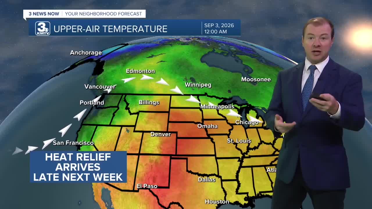
- Heat relief around mid-next week
Forecast
A heat advisory is now in effect for the Omaha metro through Friday due to prolonged heat and increased temperatures for the region. The afternoon heat index will reach 100-105 and nightly temps may only cool in the mid 70s. It is possible this advisory gets extended through Saturday.
It will be very warm night with temps only dipping into the upper 70s overnight. After about 3 AM, a few thunderstorms will pop-up around the region and could continue into the morning hours on Thursday.
After a wet start to the morning for some, morning clouds will clear out and we are back to hot and humid conditions. Thursday's highs will again be in the upper 90s with a heat index around 100-105.
Friday is no better, with more sun and above-normal heat by nearly 15+ degrees now...Friday's highs will be in the mid to upper 90s. Plan for extra heat during high school football game Friday evening.
The 'scorching' summer heat may stick around of some on Saturday with temps again in the mid 90s, but there will be a few areas from Omaha and west Iowa that only reach the low 90s on Sunday and Monday as the heat begins to slowly shift south and west. We may also see a few isolated thundershowers later on this Labor Day weekend.
If you are wondering, "when will this heat go away?" There is some good news! After next Tuesday or Wednesday, temps will be out of the 90s, and down into the 80s for the rest of next week. But, the heat stays at least through Labor Day.
WEDNESDAY NIGHT
Partly Cloudy
Storms after 3 AM
Low: 77
Wind: SE 10-15
THURSDAY
Mostly Sunny
Hot
High: 97
Wind: SE 10-25
FRIDAY
Mostly Sunny
Hot
High: 96
Wind: SE 10-25
Share your weather pictures with KMTV:
- Email to News@3newsnow.com
- 3 News Now Facebook page
- Use the hashtag #3NewsNow on Instagram or X (formerly Twitter)
