



3 Things to Know
- Dangerous heat this weekend
- Trends of storms Sunday night
- End of next week will be a little cooler
Forecast
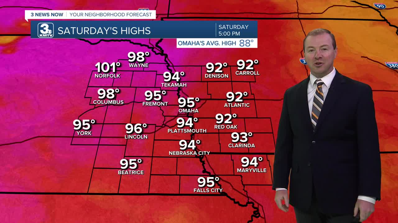
Expect low visibility due to fog on Saturday until 9 AM. Afterwards, it quickly starts to gets to get hot and muggy. Skies will become mostly sunny and temps will reach the middle 90s, feeling like 105 outside.
Things get even hotter on Sunday and Monday with temps reaching the upper 90s, feeling as hot as 110-111 at times in the afternoon.
We are also now watching for some trends of rain/storms Sunday night and early Monday. Given how hot and humid it will be, this could become 'storm-fuel' for damaging wind gusts. So, just a heads up for Sunday night!
After a HOT Monday, we should start to see this heat pull back a bit Tuesday and Wednesday where temps will be in the low to mid 90s, and heat indices closer to just 100 F. This will be followed by a cool front later in the week that could provide the region with some rain after a few very hot days.
Temps are expected to be closer to 88-91 F heading into next weekend.
SATURDAY
Mostly Sunny
Getting Hot!
High: 95
Heat Index: 105
Wind: SE 10-15
SATURDAY NIGHT
Mostly Clear
Muggy
Low: 75
Wind: SE 5-15
SUNDAY
Sunny
Dangerous Heat
High: 99
Heat Index: 111
Wind: SE 15-25
Share your weather pictures with KMTV:
- Email to News@3newsnow.com
- 3 News Now Facebook page
- Use the hashtag #3NewsNow on Instagram or X (formerly Twitter)
