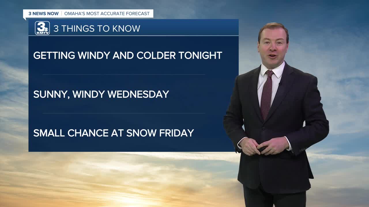


3 THINGS TO KNOW
- Windy and colder starting Wednesday
- Small chance at snow Friday night
- Below average temps this weekend
FORECAST:
Another cold front moves through Omaha tonight, bringing a chance of spotty rain showers through 3-6am Wednesday morning. It will become breezy with temperatures in the upper 20s by Wednesday morning. Watch out for slick spots on elevated roads, such as bridges and overpasses in the morning.
We start Wednesday with increasing sunshine. It will still be breezy during the day, but the wind will begin to settle by the evening. Be ready for conditions to be a lot colder out with highs in the low 30s.
We get a slight warm-up into the low 40s on Thursday under partly sunny skies.
Another cold front will reach Omaha on Friday, bringing another shot of cold air into the region and a gusty wind at 35-45mph. While we could see a few snow showers on Friday and Friday night, accumulations appear to only be around a dusting at this time.
This weekend will be even colder with some sunshine and gusty winds on Saturday and highs in the low 20s. We drop in the single digits by Sunday morning.
Sunday will be a little warmer and closer to normal with highs near 30 degrees.
The weather appears to be more of the same next week. Monday and Tuesday will have highs in the low to mid 30s. Some rain and snow may be possible by the end of next week.
TUESDAY NIGHT
Mostly Cloudy
Flurries & Breezy
Low: 26
Wind: NW 15-25
WEDNESDAY
Mostly Sunny
Colder & Windy
High: 31
Wind: N 25-35
THURSDAY
Partly Cloudy
Warmer
High: 43
Wind: S 15-25
Share your weather pictures with KMTV:
- Email to News@3newsnow.com
- 3 News Now Facebook page
- Use the hashtag #3NewsNow on Instagram or X (formerly Twitter)
