

Any leftover rain from the overnight storms should end by mid Saturday morning. The day starts with low 70s and a lot of clouds, but we'll see more sunshine Saturday afternoon. We continue to heat up with upper 80s. The humidity will make it feel like the mid to upper 90s.
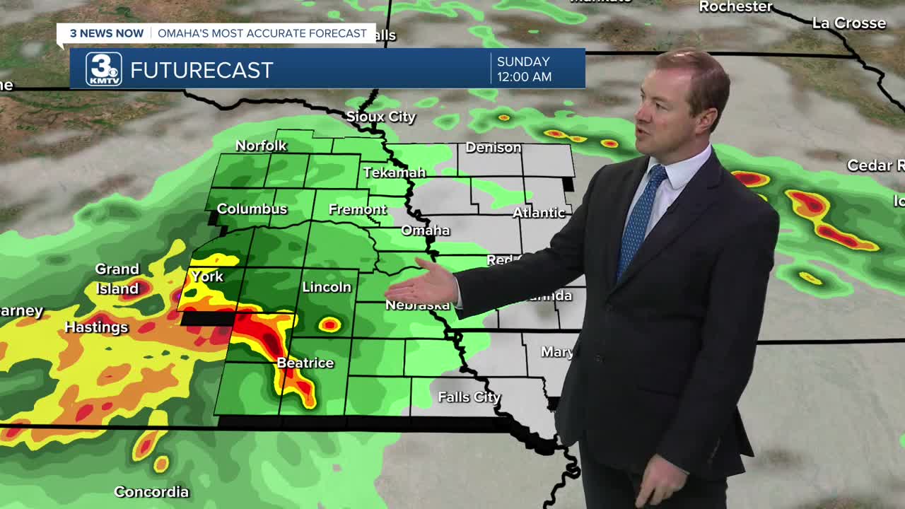
Later Saturday evening, another round of scattered storms will pop up. Like recent storms, they will come with a small chance for hail and strong wind. Some of the scattered rain could continue into Sunday morning.
Sunday's skies will become partly cloudy and it will be muggy with upper 80s. Once again, heading into Sunday evening another round of storms will start to pop up, which would continue into Sunday night. these storms could also come with hail and strong wind.
By Monday of next week, the rain will have moved out and we're on to the summer heat. Highs on Monday will reach the mid 90s over eastern Nebraska, and low 90s over western Iowa. Regardless, due to the higher humidity, all of us will feel like its 105 to 107 in the afternoon.
Most of us will continue to stay dry and mostly sunny Tuesday and Wednesday with mid 90s. The heat index will be near 108 in the afternoons.
A cold front will try to move in Thursday. If it can get to us, storms would be more likely, but we likely still heat up to near 90, but the humidity may be a little lower by then.
SATURDAY
Partly Cloudy
Isolated Storms
Muggy
High: 88
SATURDAY NIGHT
Mostly Cloudy
Scattered Storms
Low: 72
SUNDAY
Partly Cloudy
Spotty Storms
Muggy
High: 88
MONDAY
Partly Cloudy
Hot & Humid
High: 93
Share your weather pictures with KMTV:
- Email to News@3newsnow.com
- 3 News Now Facebook page
- Use the hashtag #3NewsNow on Instagram or X (formerly Twitter)
