



3 Things to Know
- Late-summer 90 degree heat continues
- Small northern NE storm chance late Tuesday night
- Labor Day weekend looks warm
Forecast
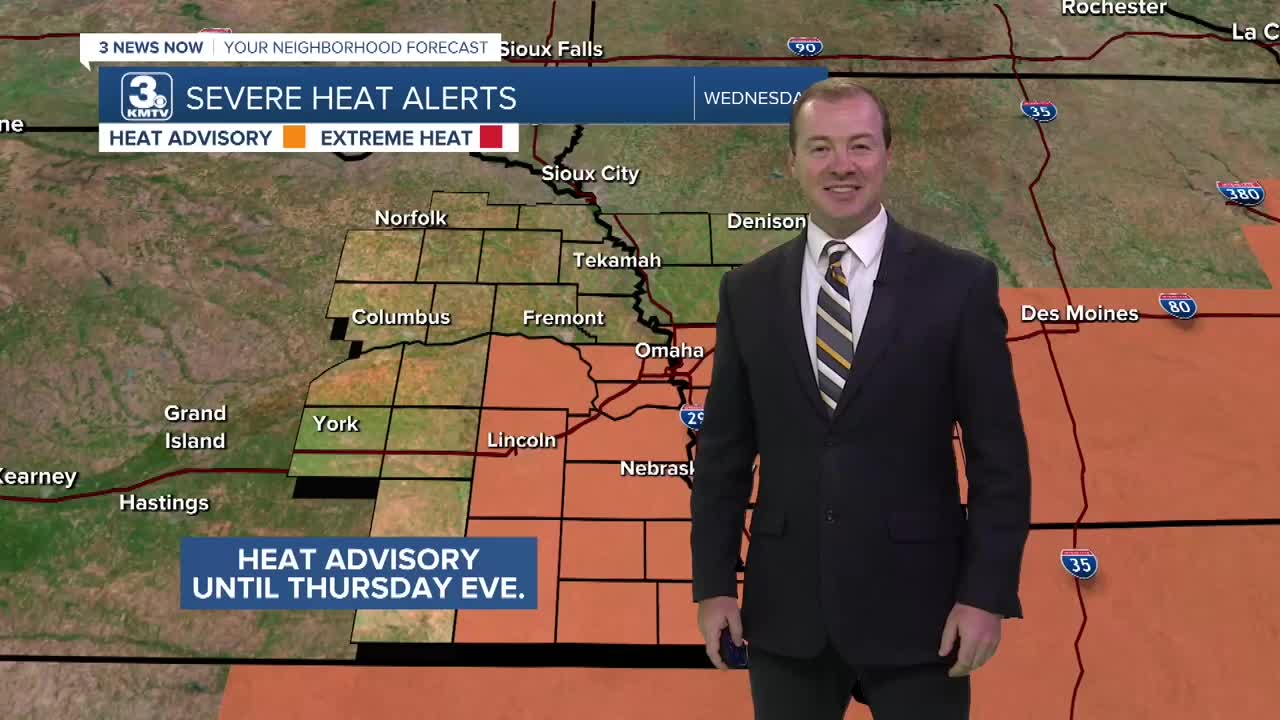
A heat advisory is now in effect for the Omaha metro through Thursday due to prolonged heat and increased temperatures for the region. The afternoon heat index will reach 100-105 and nightly temps may only cool in the mid 70s.
It stays very warm tonight with temps into Wednesday morning only cooling to around 75 degrees. There is a chance at a few thunderstorms well north of Omaha later tonight, where some of this rain may clip Norfolk, Tekamah or Denison, IA. the rest of the Omaha region should likely remain dry for Wednesday morning.
Wednesday will be another mostly sunny day and it gets HOT with highs in the mid 90s and a heat index around 100-105. There is a 10-20% chance for an isolated pop-up thunderstorm at any point of the day Wednesday and Thursday.
We'll keep the temps forecast to be around 95+ again on Thursday...And around 90-94 on Friday...
Slightly less hot air will begin to 'nudge' back into the region by Saturday and Sunday, leaving afternoon temps closer to 90-92 degrees for the first half of this Labor Day weekend.
Labor Day is on Monday, and while it's still very warm out, temps will be near around 91 degrees with a small chance at rain.
If you are wondering, "when will this heat go away?" There is some good news! After next Tuesday or Wednesday, temps will be out of the 90s, and down into the 80s for the rest of next week. But, the heat stays through Labor Day.
TUESDAY NIGHT
Partly Cloudy
Storms Possible
North of Omaha
Low: 75
Wind: SE 10-15
WEDNESDAY
Mostly Sunny
Hot
High: 96
Wind: SE 10-25
THURSDAY
Mostly Sunny
Hot
High: 96
Wind: SE 10-25
Share your weather pictures with KMTV:
- Email to News@3newsnow.com
- 3 News Now Facebook page
- Use the hashtag #3NewsNow on Instagram or X (formerly Twitter)
