



3 Things to Know
- More storms Tuesday Night and Wednesday
- Near/cooler than average temps
- Rain chance now for Sunday
Forecast
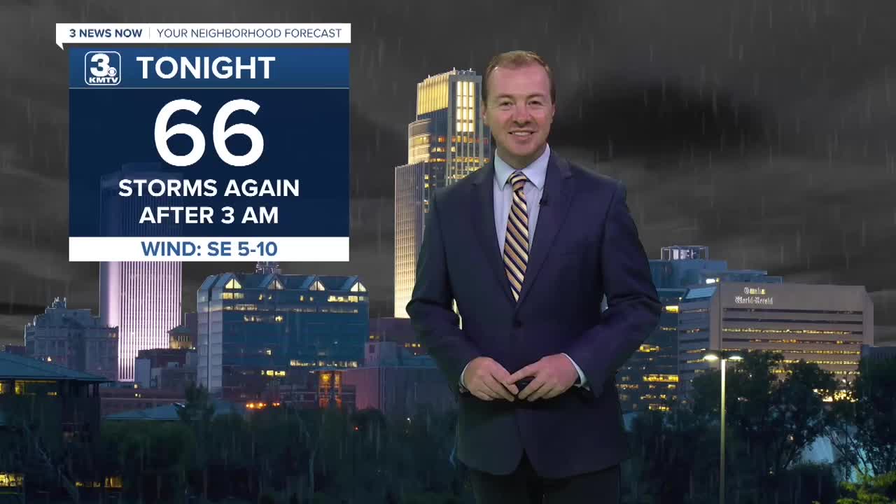
Most of the area will be dry Tuesday evening and it should be pretty comfortable out. Temps will dip into the mid to upper 60s overnight.
Once again, more rain will move in after 3 AM and we will be waking up with scattered storms around Omaha in the morning. The chance for severe weather is low, but more of our storms could be capable of some hail than recent mornings when it was mainly 45-55+ MPH wind. Although, we could see that, too.
Wednesday now looks like a rainy day with scattered rain during the morning and continuing into the afternoon at a slightly lower rain chance. Due to the clouds and rain, temps may only reach the upper 70s in some areas. The rain clears out for most Wednesday night.
We'll look to keep things on the drier side Thursday and we should see some extra sunshine. Highs will be in the low to mid 80s.
Friday will be a warm day with highs in the upper 80s and mostly sunny skies. However, a few thundershowers will be possible around Omaha heading into Friday afternoon as a cold front moves into the region. This front will clear out any rain later Friday evening.
This weekend looks great on Saturday! We'll see lots of sunshine with temps in the mid 80s.
We have now introduced rain chances for Sunday and it's now looking mostly cloudy. A lot of the rain may miss Omaha to our south, but we'll keep an eye on it for your weekend
A newer and different weather pattern will begin to build in next week - Warmer and less rainy. Temps will be in the mid to upper 80s most of next week with only small chances at rain.
TUESDAY NIGHT
Mostly Cloudy
Storms after 3 AM
Low: 69
Wind: S 5-10
WEDNESDAY
Mostly Cloudy
Scattered Storms
High: 81
Wind: NE 5-10
THURSDAY
Partly Sunny
Mostly Dry
High: 83
Wind: SE 5-10
Share your weather pictures with KMTV:
- Email to News@3newsnow.com
- 3 News Now Facebook page
- Use the hashtag #3NewsNow on Instagram or X (formerly Twitter)
