

It will be another milder August night with partly cloudy skies. We cool off in the upper 50s by Thursday morning
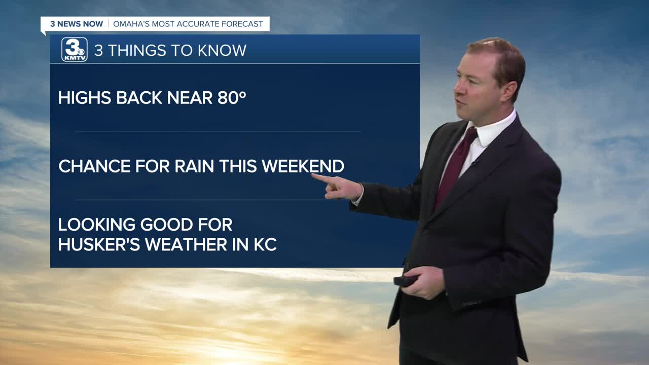
Thursday will be mostly sunny, in the low 80s. You may notice a little more humidity is back in the air, too.
After some sunshine in the morning, clouds will move in throughout the day Friday. We still manage to warm up into the low 80s. A few light and isolated rain showers could pop up over eastern Nebraska and western Iowa toward the evening, but most of us will be dry.
Saturday will be mostly cloudy with upper 70s. Hit and miss rain will start to move into the region in the second half of the day and will continue into the night. The best places to see this rain will be over eastern Nebraska.
There will be a better chance at more widespread, scattered rain showers around on Sunday. Highs will be in the mid 70s with cloudy skies when not raining.
While rain isn't as likely Monday for Labor Day, we could still have some spotty showers around. Have an indoor backup plan ready for outdoor plans, just in case. Highs will be in the upper 70s with partly cloudy skies.
Tuesday will be partly cloudy and back to near 80 degrees. There is just a slight chance for spotty rain.
A cold front will arrive Tuesday night, cooling us back does in the mid 70s with sunshine for Wednesday.
THURSDAY
Partly Cloudy
More Humidity
High: 82
THURSDAY NIGHT
Partly Cloudy
Near Average
Low: 60
FRIDAY
Partly Cloudy
Isolated PM Showers
High: 81
SATURDAY
Mostly Cloudy
Isolated PM Showers
High: 79
Share your weather pictures with KMTV:
- Email to News@3newsnow.com
- 3 News Now Facebook page
- Use the hashtag #3NewsNow on Instagram or X (formerly Twitter)
