



3 THINGS TO KNOW
- Scattered rain this weekend
- Stronger storms possible Saturday night, Sunday evening
- In the 80s for first days of June
FORECAST
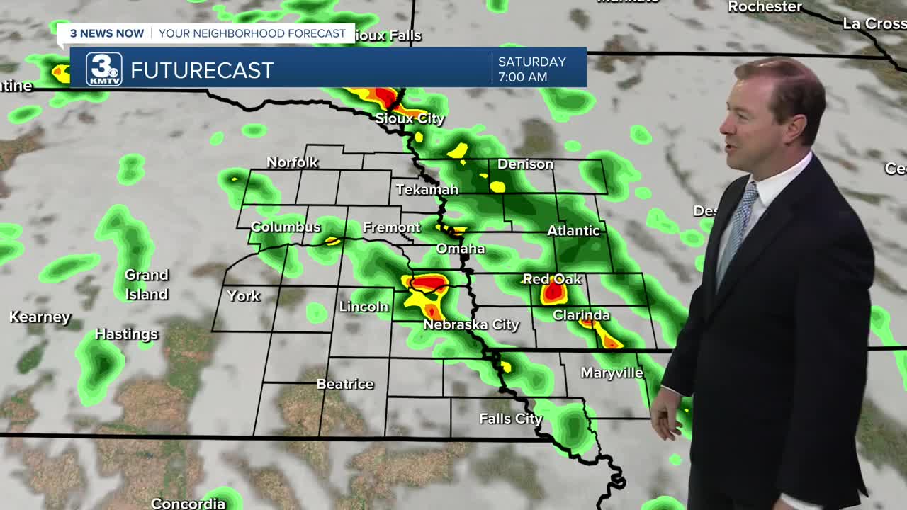
It could rain really at any time over the weekend. So have a back-up plan for any of your outdoor plans.
Scattered rain will be likel on Saturday morning, but there is expected to be some dry time by midday and through the afternoon. Skies will remain mostly cloudy with highs near 80.
Later Saturday evening, a line of storms will move in from the southwest, after 9-11pm, bringing overnight thunderstorms. There could be some gusty winds over 50mps with this line, so make sure patio furniture is secure! Theses storms will exit before the start of Sunday morning.
Sunday likely starts out mostly dry, and we could see a little daytime sunshine. It will be warmer with highs in the mid 80s. After 3-4pm, a few isolated thunderstorms will begin to pop up and could reach severe levels. Damaging winds and large hail are the concerns with any Sunday evening storms. some may not see any rain on Sunday. All rain exits the region around midnight.
In total, we could see around 0.50 to 1.00" of rain this weekend.
Monday starts out mostly sunny and it could be very warm with humidity. Highs will be in the upper 80s. Tuesday will be just as warm with mid 80s for highs.
There is another chance for rain around Thursday. Otherwise, we start the month of June very warm, approaching 90 by Friday
SATURDAY
Mostly Cloudy
Scattered AM Storms
High: 82
Wind: SE 5-15
SATURDAY NIGHT
Mostly Cloudy
Scattered Storms
Low: 65
Wind: SE 5-15
SUNDAY
Partly Sunny
Isolated PM Storms
High: 85
Wind: SE 5-15
Share your weather pictures with KMTV:
- Email to News@3newsnow.com
- 3 News Now Facebook page
- Use the hashtag #3NewsNow on Instagram or X (formerly Twitter)
