

3 THINGS TO KNOW
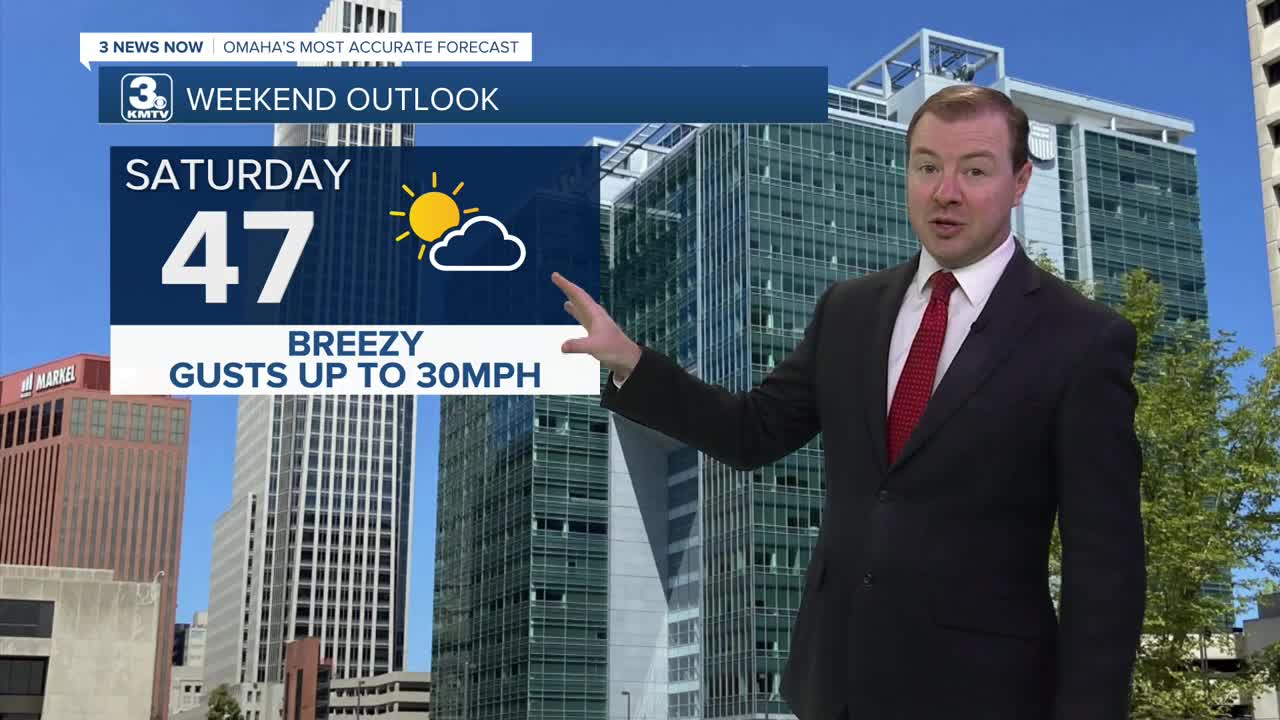
- Breezy Saturday up to 30mph
- Record highs possible Monday
- River Flood Watch due to Ice Jam Risk
FORECAST
This looks to be a quiet first weekend of February, and warmer than average, too!
We start Saturday in the low 20s with partly cloudy skies. The wind stays a little breezy, with gusts around 30mph, and highs in the upper 40s. That is about 15 degrees warmer than average for early February.
The warmer weather begins to move back in on Sunday. We'll end the weekend mostly sunny and less windy with highs in the upper 50s.
Record highs are possible on Monday as we start next week in the mid to upper 60s! Some of our records for 2/9 are:
Omaha: 63
Lincoln: 68
Norfolk: 68
Atlantic, IA: 59
Carroll, IA: 62
With these warmer temperatures does come the threat of ice jams. A flood watch is in effect for Platte, Elkhorn, and Loup Rivers.
A cold front will move through the region Monday night, kicking up a gusty north breeze for Tuesday and it will be colder out, in the mid 50s.
For now, rain and snow chances look very low for the region next week, but we could see a a few small chances at rain on Wednesday and Thursday. Temperatures in the middle of the week will be in the upper 40s, which may be too warm for snow to mix in.
FRIDAY NIGHT
Mostly Clear
Chilly
Low: 23
Wind: NE 10-20
SATURDAY
Partly Cloudy
Breezy
High: 47
Wind: NW 15-30
SATURDAY
Partly Cloudy
Breezy
High: 47
Wind: SW 15-30
SUNDAY
Mostly Sunny
Warmer
High: 58
Wind: W 5-15
Share your weather pictures with KMTV
- Email to News@3newsnow.com
- 3 News Now Facebook page
- Use the hashtag #3NewsNow on Instagram or X (formerly Twitter)
