
3 THINGS TO KNOW
- Ice potential Wednesday morning
- Breezy and warmer later this week
- A drier pattern for the next 5-7 days
FORECAST
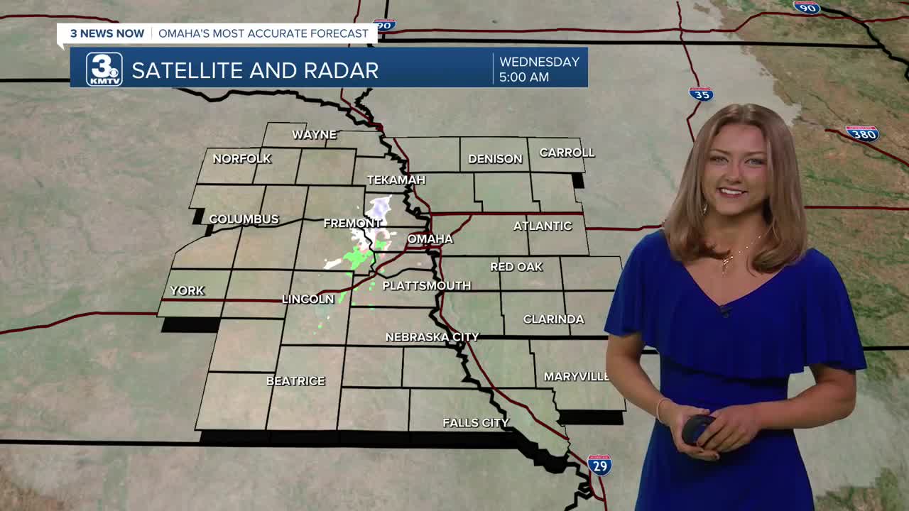
There remains the potential for some very light drizzle and mist as you're heading out the door this afternoon, most of which is making its way south.
The clouds stick around Wednesday, and as air temps warm in the mid 30s by lunch time, any precipitation will melt into rain drop. It gets a little breezy in the afternoon with highs in the upper 30s.
Temperatures will jump on Thursday and we'll see the return of some sunshine! Many neighborhoods will be reaching the 50s! It could get a little breezy in the afternoon with gusts around 25-30mph.
We cool off a little on Friday and it stays breezy, but we keep the sunshine with highs in the upper 40s.
This looks to be a quiet first weekend of February, and milder, too!
Saturday will be partly cloudy and breezy with highs in the upper 40s, turning mostly sunny and less windy Sunday with highs in the low 50s.
The start of next week looks very warm with highs nearing 60 on Monday. There is a chance for some rain around mid next week.
WEDNESDAY
Mostly Cloudy
AM Snow Flurries or Ice Accumulation
High: 38
Wind: N 10-20
WEDNESDAY NIGHT
Mostly Cloudy
Clearing Clouds
Low: 24
Wind: NE 5-10
THURSDAY
Mostly Sunny
Breezy
High: 55
Wind: NW 10-20
Share your weather pictures with KMTV
- Email to News@3newsnow.com
- 3 News Now Facebook page
- Use the hashtag #3NewsNow on Instagram or X (formerly Twitter)
