
3 THINGS TO KNOW
- Below average temperatures
- Potential flurries Thursday and Saturday
- Warmest day Wednesday, then dipping temperatures
FORECAST
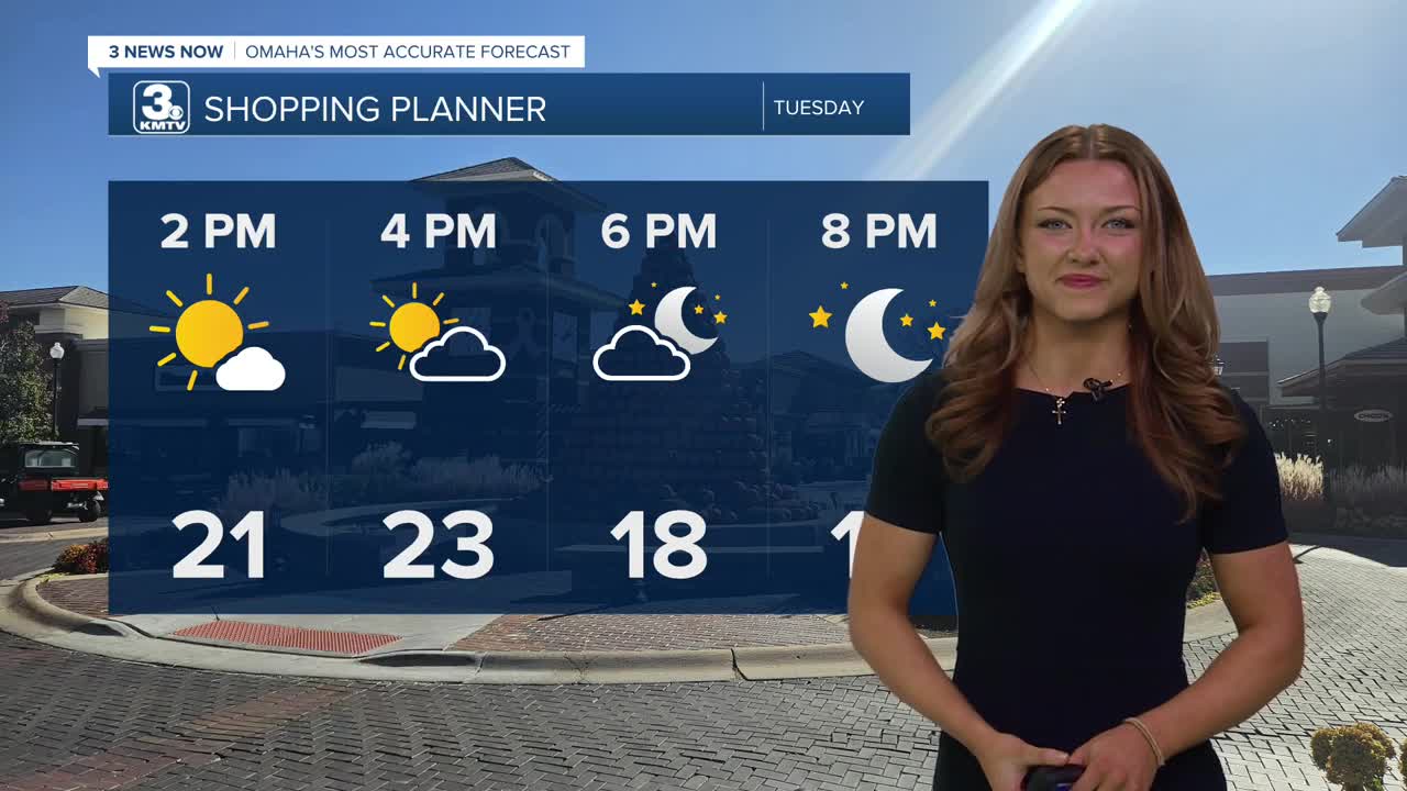
Similar to yesterday, a cold start to our morning will have temperatures only tapping out around the mid to lower 20s today.
With high pressure at the surface, our area remains fairly dry with lots of sunshine. In addition to that, a NW flow brings some chillier winds into the area, preventing our temperatures from reaching the monthly average of around 33.
A small shortwave brings a little hope of a brief warmup by Wednesday, with increasing cloud coverage. Wednesday will be the warmest day of this week, with highs just hitting above the 30s.
A few pockets of snow flurries will be possible Thursday. No accumulations are expected. It will be colder and cloudy Thursday with highs in the lower 20s.
It gets again frigid Friday. Even with sunshine, temperatures will only reach the 10s, and we could dip below zero again Friday night.
Heading into the weekend, there is another small chance for some light snow on Saturday. Some small snow amounts will be possible from this. After staying cold, in the low 20s on Saturday, Sunday will be warmer in the 30s.
If you are wanting even warmer weather, we should have that next week. Starting next Monday, temperatures will be in the 40s.
MONDAY
Sunny
Cold
High: 24
Wind: NW 5-15
TUESDAY NIGHT
Mostly Clear
Chilly
Low: 10
Wind: NW 5-15
WEDNESDAY
Building Cloudy
Not As Cold
High: 30
Wind: NW 5-15
Share your weather pictures with KMTV:
- Email to News@3newsnow.com
- 3 News Now Facebook page
Use the hashtag #3NewsNow on Instagram or X (formerly Twitter)
