

A few rain showers may linger over west Iowa overnight. Elsewhere, we will be mainly dry overnight with patchy fog. Friday morning starts in the upper 50s to low 60s.
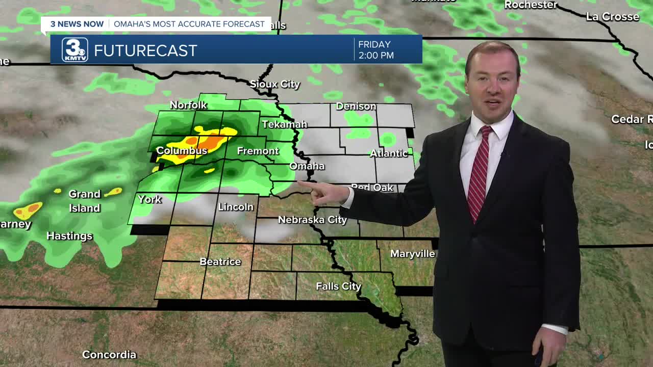
There may be a few sunny breaks Friday morning before our next round of rain moves in Friday afternoon, which will continue into Friday evening. Friday's highs will reach the low to mid 70s.
There's a good chance the rain sticks around Friday night and for a few hours of Saturday morning. This rain will be moving off to our south and east of Omaha as Saturday morning begins, leaving Saturday afternoon drier and partly sunny, with upper 70s for highs.
Sunday will be partly sunny and a touch warmer with a high closer to 80. There is another chance for rain, which moves in during the afternoon.
The Autumn season officially beings Monday. It will be a warmer day with low 80s in the afternoon. Then, late Monday, a cold front arrives bringing a good chance for showers and storms.
Depending on how fast the cold front moves to our southeast, some of the rain could continue into Tuesday. As cooler air blows in, we'll be in the mid 70s for the afternoon, and the 50s overnight.
Wednesday will be in the upper 70s with only a small chance for rain, followed by mostly sunny skies Thursday and highs in the mid 70s.
FRIDAY
Mostly Cloudy
Spotty PM Storms
High: 74
FRIDAY NIGHT
Mostly Cloudy
Scattered Showers
Low: 60
SATURDAY
Partly Cloudy
Spotty AM Storms
High: 77
SUNDAY
Partly Cloudy
Spotty PM Storms
High: 80
Share your weather pictures with KMTV:
- Email to News@3newsnow.com
- 3 News Now Facebook page
- Use the hashtag #3NewsNow on Instagram or X (formerly Twitter)
