

Spotty rain and storms will be possible around Omaha tonight as skies stay mostly cloudy.
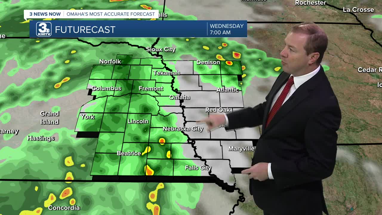
After 2-3am, a line of storms will move in from from our west in central Nebraska, leading to a rainy start to Wednesday morning. These showers and storms will continue off and on for most of the day, and a few of the strongest storms may briefly produce damaging wind, or pockets of large hail. It is part of a slow-moving area of low pressure and cold front. It will be a cloudy and cooler day, in the low 80s.
Scattered storms will remain possible into Thursday and Friday as the slow-moving system remains overhead, but there will be some limited sunshine mixed in, and more dry time than on Wednesday, too. Highs will be in the upper 70s to close out the work week.
We'll keep the chance at a few hit and miss showers and storms around for the weekend, but there will be a lot of dry time mixed in. Highs will be close to 80 both afternoons.
There is another chance at rain on Monday, followed by returning sunshine on Tuesday. Highs for early next week will be in the low 80s.
WEDNESDAY
Mostly Cloudy
Rain & Storms
High: 81
WEDNESDAY NIGHT
Mostly Cloudy
Scattered Storms
Low: 64
THURSDAY
Mostly Cloudy
Spotty Rain/Storms
High: 78
FRIDAY
Partly Cloudy
Spotty Rain/Storms
High: 78
Share your weather pictures with KMTV:
- Email to News@3newsnow.com
- 3 News Now Facebook page
- Use the hashtag #3NewsNow on Instagram or X (formerly Twitter)
