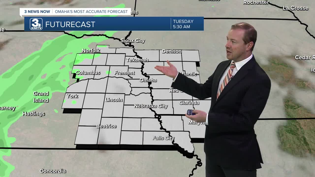


Clouds will move in overnight, keeping things a bit warmer. We start Tuesday morning in the low 60s.
Tuesday will be mostly cloudy, helping to keep the afternoon heat down. Highs will be in the low to mid 80s. For now, no rain is expected from the clouds that move in.
We start to see more sunshine mix back in with the clouds Wednesday, helping to warm us back into the mid 80s.
Thursday will be mostly sunny with upper 80s.
The wind will start to pick up out from the south on Friday, and it's possible we are able to hit 90 in the afternoon under sunny skies.
Saturday stays warm and breezy, but there will be clouds moving in throughout the second half of the day. Highs will be in the upper 80s. Lincoln may be closer to 90 degrees at kickoff for the Huskers game against Michigan State.
A cold front will slowly move in from the west Sunday, bringing clouds and a chance at rain. The timing on rain and storms uncertain right now, but could hold off until the second half of the day. It remains warm out until the rain arrives, with mid 80s for highs. Storms should become more likely heading into Sunday night.
The rain and storms clear up before the start of next Monday. It will be partly cloudy and cooler to begin next week, with highs down in the upper 70s. There's another chance at rain next Tuesday.
TUESDAY
Mostly Cloudy
Staying Dry
High: 83
TUESDAY NIGHT
Mostly Cloudy
Warm
Low: 62
WEDNESDAY
Partly Cloudy
Staying Dry
High: 85
THURSDAY
Mostly Sunny
Above Average
High: 88
Share your weather pictures with KMTV:
- Email to News@3newsnow.com
- 3 News Now Facebook page
- Use the hashtag #3NewsNow on Instagram or X (formerly Twitter)
