

3 THINGS TO KNOW
- Light Snow Thursday morning
- Very Cold Friday
- More light snow possible on Sunday
FORECAST
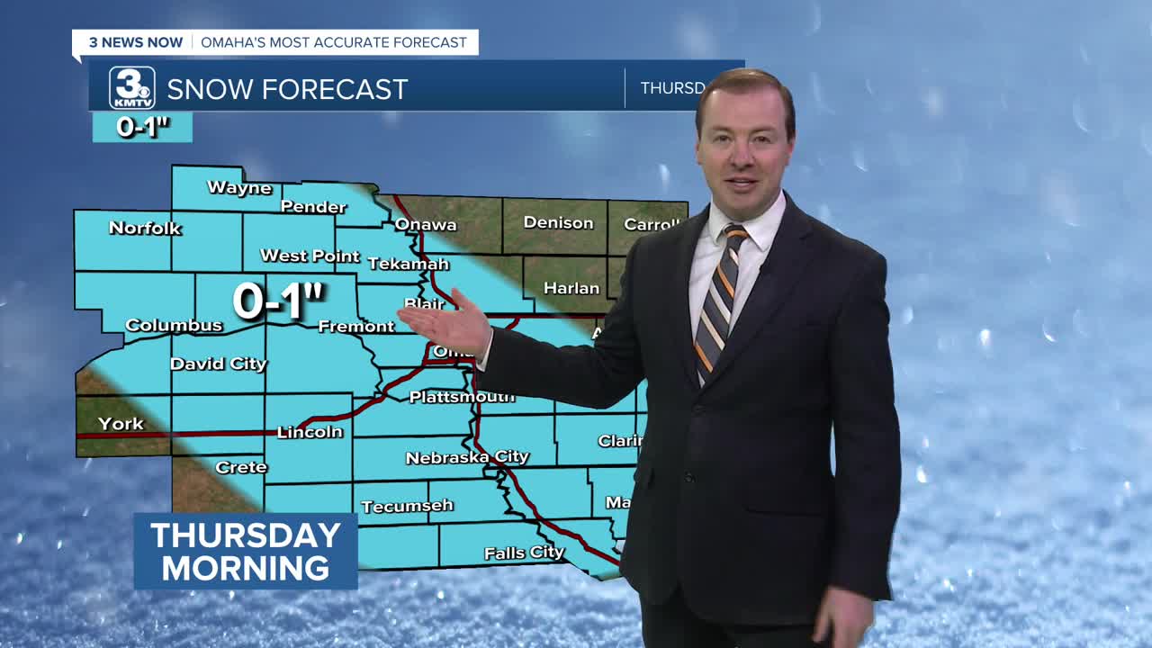
A few bands of light snow will move into the region from the west early Thursday morning, around 2-4am. This snow will move into the Omaha metro just before the morning commute begins, and lasts until around 9-10am.
While snow amounts will only be around 1/2 to 1", this will be during the AM commute. Plan some extra time into your commute to work and school, and slow down.
After the snow moves out, we're left with some colder temperatures. Thursday's highs will be in the low 20s, followed by highs only in the 10s on Friday. We may drop below zero Friday night.
Heading into the weekend, there is another small chance for some light snow on Saturday night and on Sunday. Some small snow amounts will be possible from this. After staying cold, in the low 20s on Saturday, Sunday will be warmer in the 30s.
Travel impacts are not expected Saturday, but there could be some minor impacts depending on how heavy the snow is on Sunday.
If you are wanting even warmer weather, we should have that next week. Starting next Monday, temperatures will be closer to 40 degrees.
WEDNESDAY NIGHT
Mostly Cloudy
Snow Showers
Low: 14
Wind: NE 5-10
THURSDAY
Mostly Cloudy
AM Snow Showers
High: 22
Wind: NE 5-15
FRIDAY
Mostly Sunny
Cold
High: 15
Wind: NE 5-15
Share your weather pictures with KMTV:
- Email to News@3newsnow.com
- 3 News Now Facebook page
- Use the hashtag #3NewsNow on Instagram or X (formerly Twitter)
