

Scattered sprinkles and light rain will become more widespread overnight as we cool off in the low 50s for Tuesday morning.
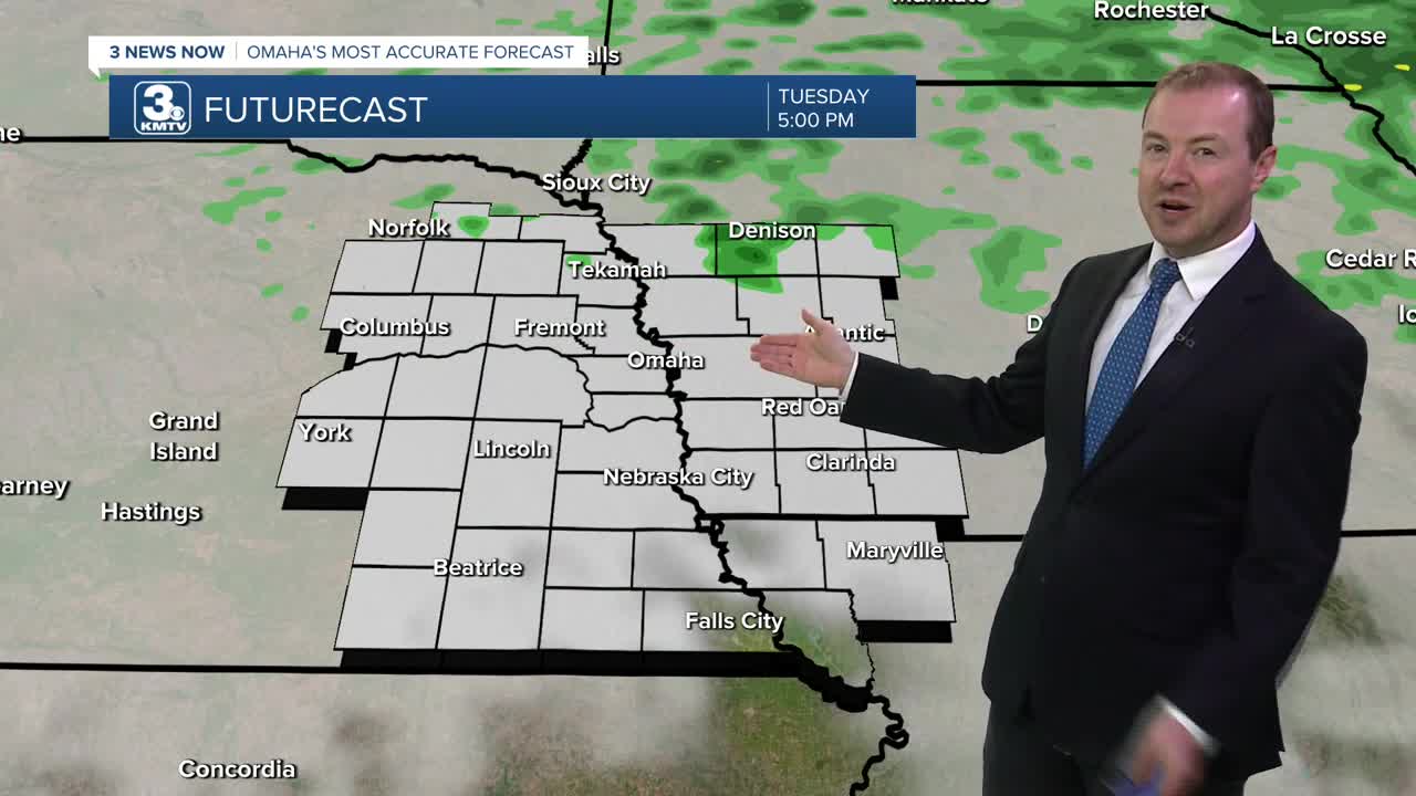
Scattered light rain showers will be common Tuesday, especially during the first half of the day. But, there will be some dry time. It will be a cloudy day as temperatures slowly reach the mid 60s by late day. We'll then hold in the low 60s Tuesday night with a slight chance for rain.
A warm front arrives Wednesday, and a southerly wind could get a little breezy. Spotty rain showers may pop up during the day under mostly cloudy skies. Will be a warmer day with highs in the upper 70s. The best areas to see rain will be north of the warm front, which will be lifting north of I-80 by the afternoon.
Sunshine returns Thursday and it will be a breezy, warmer day with low 80s.
A cold front arrives Friday, bringing another chance for rain. It will be slightly cooler with mid 70s Friday afternoon.
The weekend will be back to near normal for mid-October under mostly sunny skies. Saturday will be in the upper 60s, followed by mid 60s Sunday. Weekend lows at night will be around the mid 40s.
We start warming up again early next week with mid 70s and sunshine on Monday.
TUESDAY
Mostly Cloudy
Scattered Rain
High: 65
TUESDAY NIGHT
Mostly Cloudy
Hit and Miss Rain
Low: 59
WEDNESDAY
Mostly Cloudy
Spotty Rain
Breezy
High: 79
THURSDAY
Partly Cloudy
Breezy
High: 82
Share your weather pictures with KMTV:
- Email to News@3newsnow.com
- 3 News Now Facebook page
- Use the hashtag #3NewsNow on Instagram or X (formerly Twitter)
