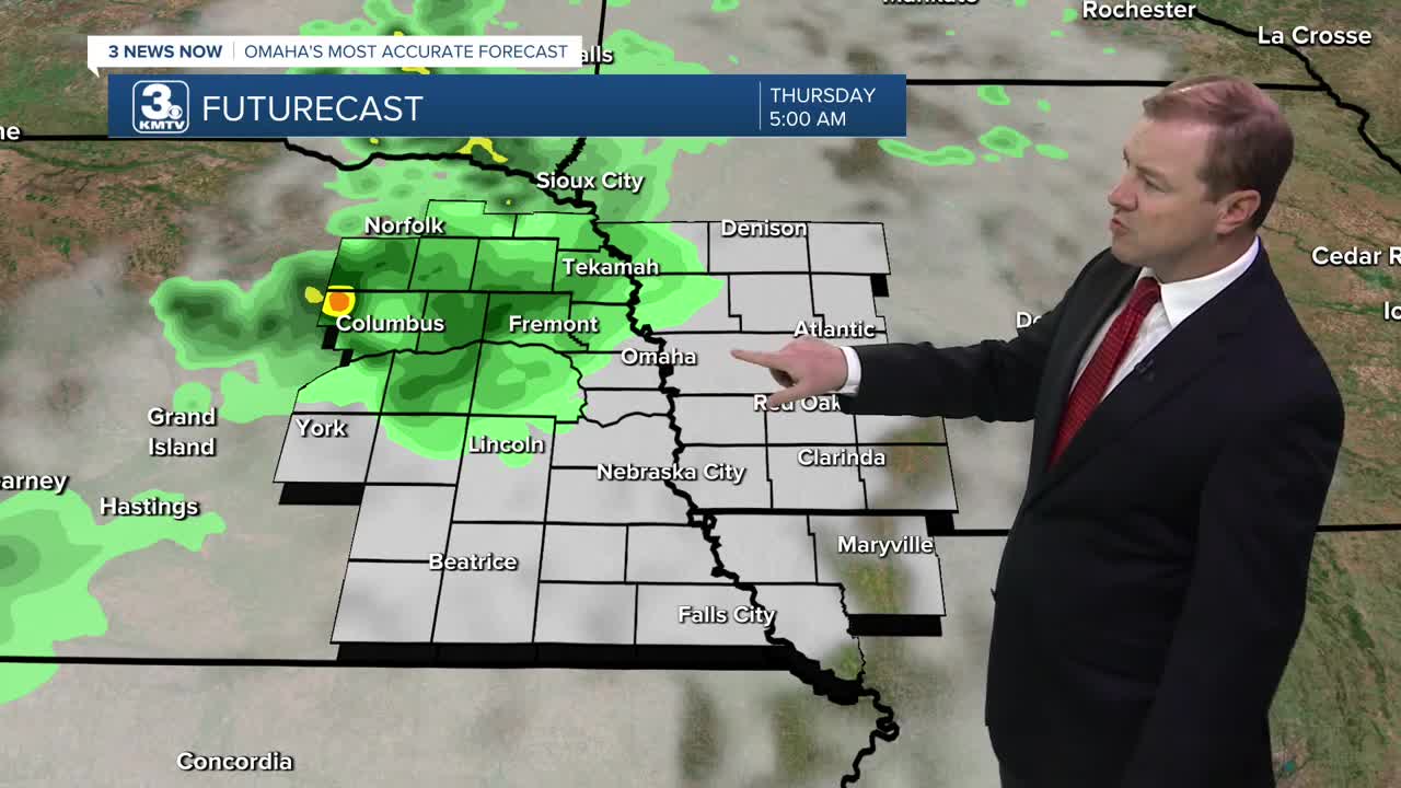


Several hours after midnight, a few spotty storms will move into central and northeast Nebraska. Severe weather is not expected, but winds up to 50 could be possible.
By sunrise on Thursday, these spotty storms will be moving into eastern Nebraska and Omaha, and drifting east into western Iowa through the morning. We'll carry a slight chance at rain through noon.
The sunshine kicks back in Thursday afternoon, and we warm into the upper 80s, feeling more like the mid 90s thanks to more humidity. It will also be breezy at times with winds around 25-30 mph.
Friday will be hot and breezy with mid 90s and mostly sunny skies. The wind will be gusting to around 25-30mph. The high humidity will likely make it feel more like 105 late in the day.
The heat and humidity continue Saturday with mid 90s and a lot of sunshine. It will feel like 105+ again in the afternoon. While breezy, the wind will not be as gusty as Thursday/Friday.
Sunday brings a few more clouds, but there will still be plenty of sunshine as we push into the low 90s. While there will be some spotty showers and storms in the second half of the day, a lot of the region will be dry.
Hit and miss showers and storms will continue for some of us Monday with a high closer to 90.
Tuesday will be in the upper 80s as some of us continue to get hit by hit and miss rain.
THURSDAY
Spotty A.M. Rain
Afternoon Sunshine
Breezy
High: 88
THURSDAY NIGHT
Mostly Clear
Breezy
Low: 72
FRIDAY
Mostly Sunny
Breezy
High: 94
SATURDAY
Mostly Sunny
Humid
High: 94
Share your weather pictures with KMTV:
- Email to News@3newsnow.com
- 3 News Now Facebook page
- Use the hashtag #3NewsNow on Instagram or X (formerly Twitter)
