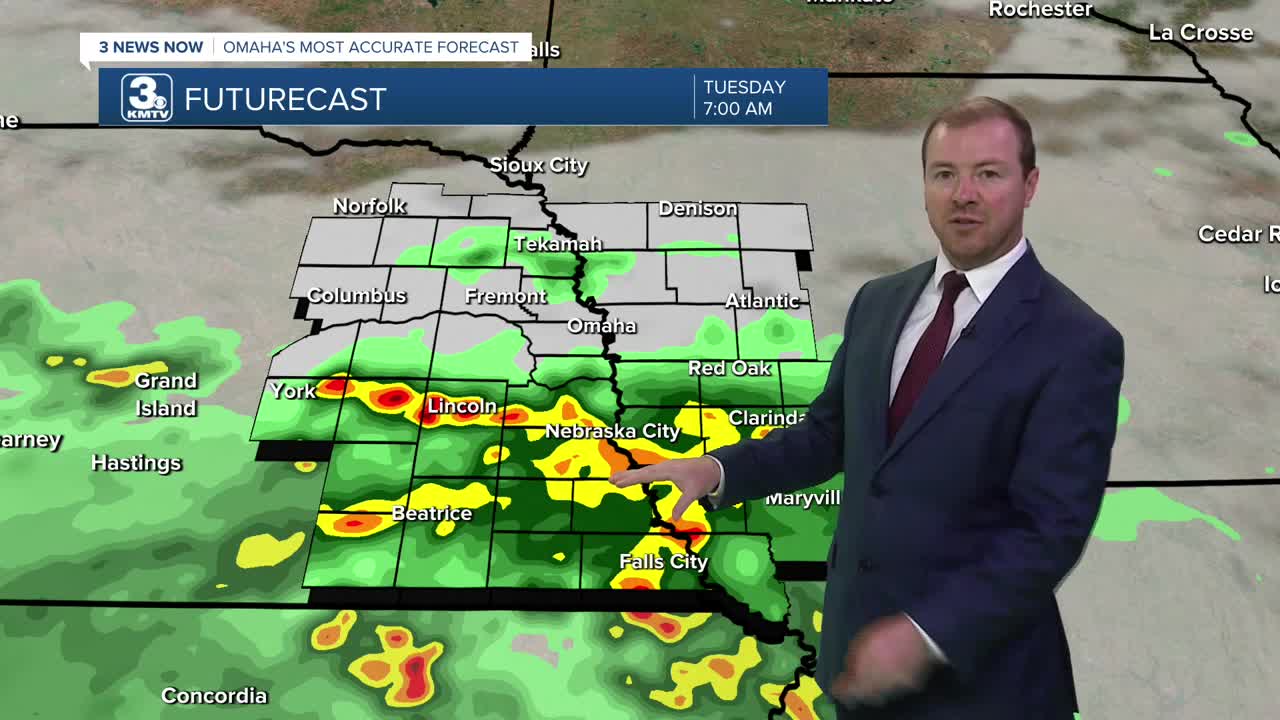


The storms will be weaker overnight, ending the severe storm threat. Rain will continue into Tuesday morning as we cool off into the mid 60s. If a heavy pocket of rain gets stuck over an area, we could see some brief flash flooding in a couple neighborhoods.
Scattered showers and storms will continue at times Tuesday, especially near and south of I-80. Severe weather is not expected, but some heavy pockets of rain may still be possible. It will be a cloudy and cooler day thanks to Monday night's cold front. Highs will be upper 60s to low 70s around Omaha.
Any rain from earlier in the day will start to exit the region later Tuesday evening and we stay cloudy for Tuesday night, dropping in the upper 50s for Wednesday morning.
Wednesday will likely be dry with a mix of sun and clouds. It will be comfortable with lower humidity and highs in the mid 70s.
It will be mostly sunny with upper 70s on Thursday, kicking off a stretch of sunny and dry weather.
We could get back to 80 in Omaha on Friday with a lot of sunshine.
The low 80s continue Saturday and Sunday with mostly sunny skies.
TUESDAY
Mostly Cloudy
Scattered Rain/Storms
High: 73
TUESDAY NIGHT
Mostly Cloudy
Rain Exits
Low: 58
WEDNESDAY
Partly Cloudy
Likely Dry
High: 76
THURSDAY
Mostly Sunny
Near Average
High: 78
Share your weather pictures with KMTV:
- Email to News@3newsnow.com
- 3 News Now Facebook page
- Use the hashtag #3NewsNow on Instagram or X (formerly Twitter)
