



3 Things to Know
- Severe weather possible on Tuesday
- Slightly cooler than average temps this week
- More rain possible Friday
Forecast
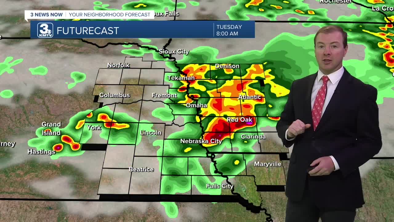
It will be a dry evening across the region. Heading into late Monday night, showers and storms will once again return to the region. Be ready for a stormy morning commute! A few of these storms may be severe with damaging winds as the primary concern from 4-8 AM.
Rain will continue off and on through the rest of the day Tuesday with temps in the low 80s. WE could see additional afternoon storms across far southeast Nebraska, which if develop would come with severe weather nearby Pawnee City and Falls City, from 3-7 PM.
Things will being to dry out Tuesday night, but skies look to stay cloudy with spotty rain on Wednesday and highs in the upper 70s to low 80s.
Some rain may still be with us early Thursday, but the rest of the day just looks partly cloudy with temps in the mid 80s.
Friday will be a warm day with highs in the upper 80s and there could be a few afternoon storms as a cold front passes through the region.
A drier weather pattern will begin after Thursday. Look for returning sunshine from Saturday through early next week with temps generally in the low 80s this weekend.
MONDAY NIGHT
Early AM Storms
Mostly Cloudy
Low: 69
Wind: S 5-10
TUESDAY
Mostly Cloudy
Strong AM Storms
High: 82
Wind: S 5-10
WEDNESDAY
Mostly Cloudy
Mostly Dry
High: 80
Wind: NE 5-10
Share your weather pictures with KMTV:
- Email to News@3newsnow.com
- 3 News Now Facebook page
- Use the hashtag #3NewsNow on Instagram or X (formerly Twitter)
