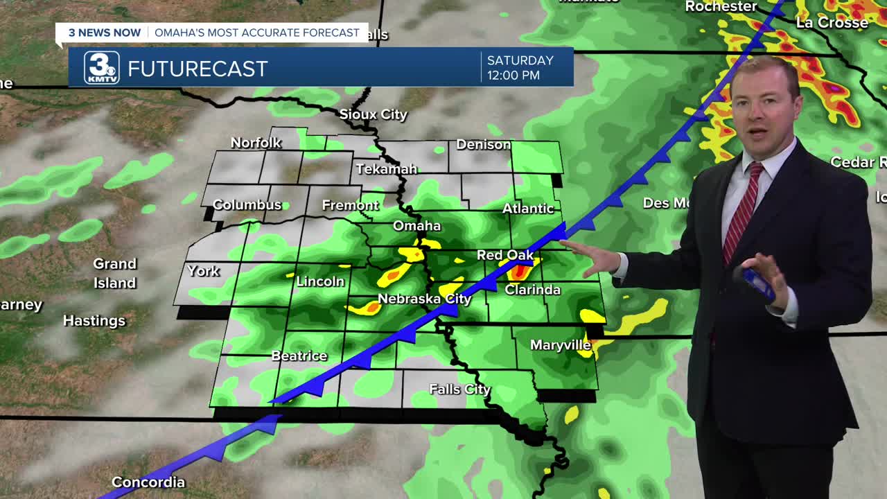


After severe storms came through Nebraska and Iowa (see videos) this morning, we will dry out by the afternoon with highs in the 80s.
Another round of rain and storms will begin to develop later into Saturday evening, and will continue Saturday night through Sunday morning. This Saturday night round of rain will be capable of very heavy rain and flooding will be possible in central to southwest Iowa.
Most of us will be dry by late Sunday morning, but we could see some afternoon and evening rain south of Omaha. It will be a cloudy and cooler day in the low 80s.
Monday will be mostly cloudy and there may be a few leftover rain showers during the day. We'll reach highs in the low 80s.
The sunshine returns Tuesday, pushing us back into the mid 80s.
Wednesday and Thursday get a little warmer, with upper 80s and mostly sunny skies.
SATURDAY
Mostly Cloudy
Spotty Morning Rain
High: 87
SATURDAY NIGHT
Mostly Cloudy
Scattered Storms
Low: 68
SUNDAY
Mostly Cloudy
Rain South of Omaha
High: 82
Share your weather pictures with KMTV:
- Email to News@3newsnow.com
- 3 News Now Facebook page
- Use the hashtag #3NewsNow on Instagram or X (formerly Twitter)
