



3 Things to Know
- Monday looks great!
- Severe weather possible on Tuesday
- Slightly cooler than average temps this week
Forecast
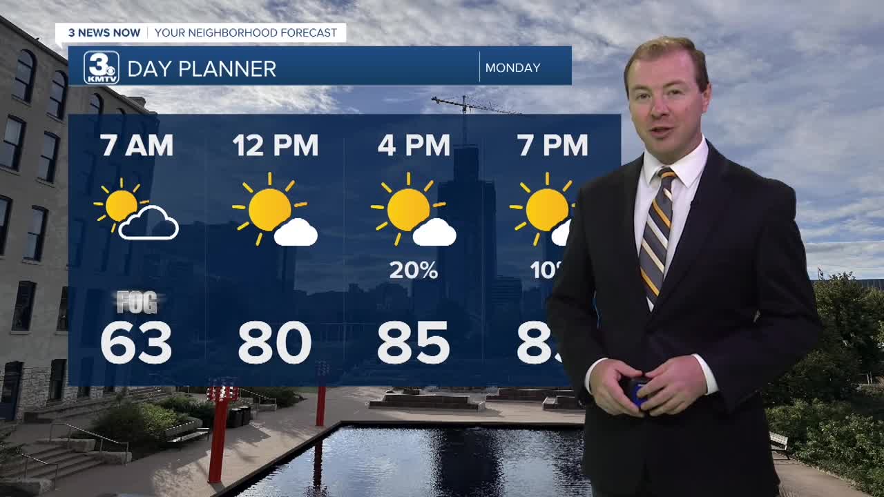
We will be waking up to some patchy fog across the region to begin Monday. Temps will be very mild during the morning, in the low 60s! Monday looks mostly dry with only a small chance at an isolated storms across northeast Nebraska in the afternoon. It will be mostly sunny and a little warm with highs in the mid-80s. The humidity should not be too terribly high.
Heading into late Monday night, showers and storms will once again return to the region, and it could be a wet start to Tuesday morning for some.
There is a chance at severe weather on Tuesday, mainly in the afternoon and early evening. The main concerns will be damaging 60+ MPH wind gusts. We will also be monitoring for any rotating thunderstorms that could lead to a tornado potential. The expectation is for these storms to evolve into a line of strong wind between 4-6 PM moving across southeast Nebraska, and into northwest Missouri after 7-8 PM.
We are dry by Wednesday morning, but another chance of rain arrives by late Wednesday evening. Highs on Wednesday will be a touch cooler thanks to the clouds, in the upper 70s to low 80s.
Rain becomes more likely Thursday morning, but not everyone will see these showers. The rain and clouds may keep highs a bit cooler than Wednesday, with many neighborhoods staying in the 70s.
A drier weather pattern will begin after Thursday. Look for returning sunshine from Friday through early next week with temps generally in the low to mid 80s this weekend.
MONDAY
Partly Cloudy
Mostly Dry
High: 85
Wind: S 5-10
TUESDAY
Partly Cloudy
Strong PM Storms
High: 85
Wind: S 5-10
WEDNESDAY
Mostly Cloudy
Mostly Dry
High: 80
Wind: NE 5-10
Share your weather pictures with KMTV:
- Email to News@3newsnow.com
- 3 News Now Facebook page
- Use the hashtag #3NewsNow on Instagram or X (formerly Twitter)
