



3 Things to Know
- Rain and storms overnight
- Not as hot Thursday & Friday
- Several 90º to 95º days next week
Forecast
Scattered rain and storms will continue overnight. Some heavy rain can be expected from these storms. But, severe weather overall is not anticipated aside from isolated gusty winds or some small hail.
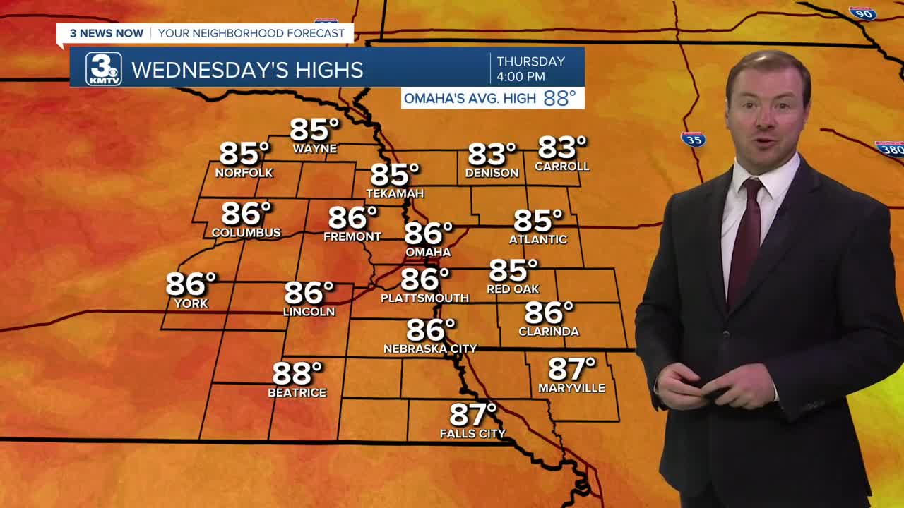
By the time we start Thursday morning, most of the rain will be exiting the region and we will have a mostly cloudy sky for the morning. The afternoon is looking partly cloudy with maybe a stray rain shower. It won't be as hot out with highs only in the mid 80s.
We'll keep a small chance at rain around for Friday, but a lot of the day looks to be dry with partly sunny skies. Temps will be near average, around 87-88 degrees.
Heading into the weekend, we are back to sunshine and warmer weather. Highs will be in the upper 80s Saturday, and low 90s on Sunday. The humidity shouldn't be too bad with dew points in the mid 60s.
The summer heat really begins to pick up heading into next week. Monday and Tuesday will be sunny with highs in the low to mid 90s. By the middle of next week, highs could climb back up into the mid to upper 90s. For now, the humidity does not appear to be exceptionally high, but could lead to afternoon heat indices around 95º every day of next week.
WEDNESDAY NIGHT
Scattered Storms
Heavy Rain
Low: 71
Wind: N 5-15
THURSDAY
Slight AM Rain Chance
Partly Cloudy
High: 86
Wind: N 5-15
FRIDAY
Partly Cloudy
Near Average
High: 87
Wind: NE 5-15
Share your weather pictures with KMTV:
- Email to News@3newsnow.com
- 3 News Now Facebook page
- Use the hashtag #3NewsNow on Instagram or X (formerly Twitter)
