

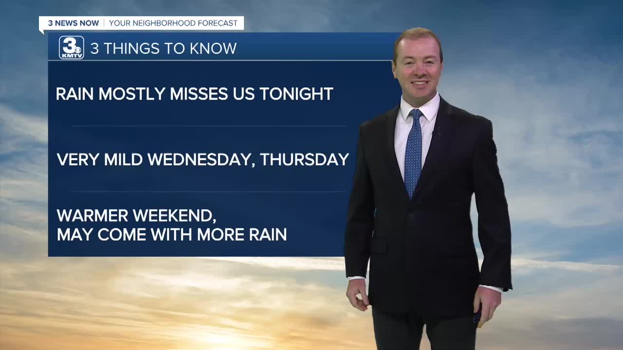


3 Things to Know
- Mid 80s most of workweek
- Scattered storms Tuesday afternoon
- This weekend could be HOT
Forecast
Our original chances at rain for today are now not looking so great. So, we'll continue to keep just a 20% chance for this evening and tonight. The trends are for this rain to stay mostly to our west.
A cold front will move through Omaha early in the morning. We'll start the day in the mid 60s. Some of that cooler air will have already reached our northern neighbors, where you'll wake up closer to 59-60 degrees.
Wednesday will be sunny and breezy with highs in the low to mid 80s. Thursday looks just as nice and less windy with temps in the mid 80s. Some of our morning temps will dip in the upper 50s!
By Friday, things start to warm up again with temps in the upper 80s and there may be some extra humidity. A few Friday evening rain showers may also be possible. More of this rain will move in for the first half of Saturday.
Saturday may start out wet with showers and storms until around noon. The afternoon will become sunny and humid with temps in the low 90s, feeling like 100.
Sunday will be just as warm and humid with temps near 90 and a heat index around 100. More thundershowers may move in Sunday night and for Monday.
TUESDAY NIGHT
Partly Cloudy
Mild
Low: 65
Wind: SE 5-10
WEDNESDAY
Mostly Sunny
Breezy
High: 85
Wind: NW 15-25
THURSDAY
Mostly Sunny
Mild
High: 85
Wind: N 5-15
Share your weather pictures with KMTV:
- Email to News@3newsnow.com
- 3 News Now Facebook page
- Use the hashtag #3NewsNow on Instagram or X (formerly Twitter)
