

3 THINGS TO KNOW
- Warmer, in the 30s mid-week
- Small chance for snow Friday night
- Very cold air returns Friday, Saturday
FORECAST
It will be a cool night with a few clouds as temperatures drop in the 10s for Tuesday morning. Wind chills will be in the single digits.
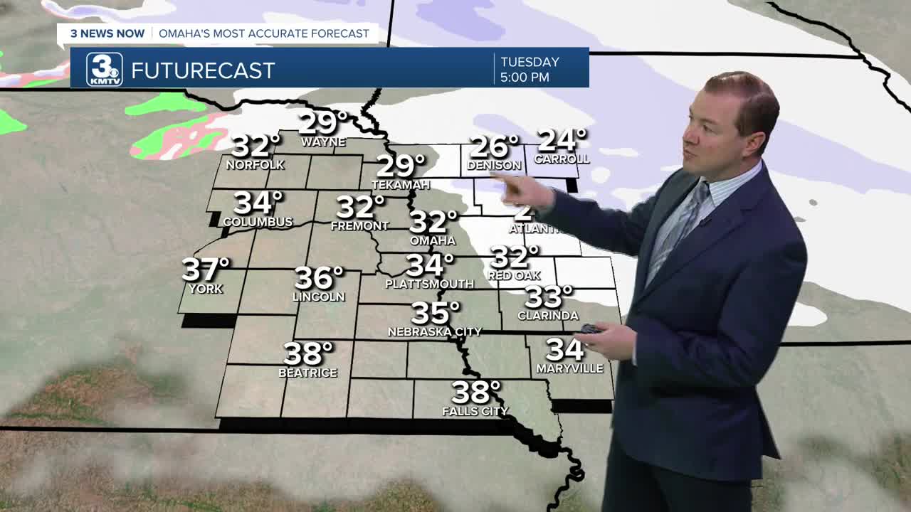
Tuesday begins cold in the morning, but we start a warm-up, into the low 30s by the afternoon with cloudy skies.
We could see a few pockets of snow showers north of Omaha from Tuesday afternoon through Wednesday morning. Most of us will be dry, and it only should bring up to a dusting of snow.
The wind is back on Wednesday, gusting to near 40 mph. It will be even warm out with highs in the low 40s. A cold front will arrive Wednesday night, dropping temps in the 10s by Thursday morning.
By the end of the week, even colder air will move into the region. Thursday will be partly cloudy with mid 30s for highs, falling in the single digits for highs on Friday and Saturday. Temperatures Friday and Saturday night could dip below zero.
There is a chance we could see a few snow showers Friday and Saturday, but a strong high pressure moving in from Canada may reach us first, leaving the Omaha region just cold and dry.
By the end of the weekend, we start recovering on temperatures, reaching the 20s on Sunday and 30s by next Monday.
MONDAY NIGHT
Partly Cloudy
Cold
Low: 14
Wind: SW 5-15
TUESDAY
Partly Cloudy
Seasonal
High: 32
Wind: S 10-20
WEDNESDAY
Partly Cloudy
Snow Flurries
Breezy
High: 43
Wind: S 25-40
Share your weather pictures with KMTV:
- Email to News@3newsnow.com
- 3 News Now Facebook page
- Use the hashtag #3NewsNow on Instagram or X (formerly Twitter)
