

3 THINGS TO KNOW
- Milder weather Wednesday
- Near record highs later in the week
- Wildfire conditions remain elevated
FORECAST
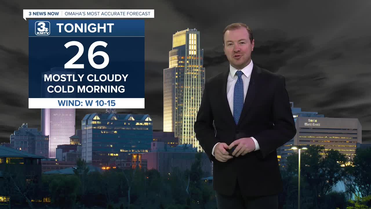
Skies will remain cloudy for the rest of Tuesday night and it will be cold tonight with lows in the mid 20s.
After waking up to a few clouds and cold conditions, a warm-up is on the way! It will be mostly sunny Wednesday with lighter winds and highs in the upper 60s.
Thursday will be even warmer with highs in the upper 70s! Record highs are possible both on Friday and Saturday with 80s for highs.
With the warmer weather likely comes more dry air and elevated wildfire conditions for the region this week. The wind will be gusting to 25-35mph Friday and Saturday, which will create high levels for weather weather, particularly on Saturday.
The second half of this weekend looks cooler, and breezy with highs dropping in the 60s by Sunday. As of now, no rain comes from this cool-down. We may see some rain by the end of next week.
TUESDAY NIGHT
Mostly Clear
Chilly
Low: 26
Wind: W 10-15
WEDNESDAY
Mostly Sunny
Warmer
High: 68
Wind: SE 5-15
THURSDAY
Mostly Sunny
Above-Average Temps
High: 73
Wind: S 10-15
Share your weather pictures with KMTV:
- Email to News@3newsnow.com
- 3 News Now Facebook page
- Use the hashtag #3NewsNow on Instagram or X (formerly Twitter)
