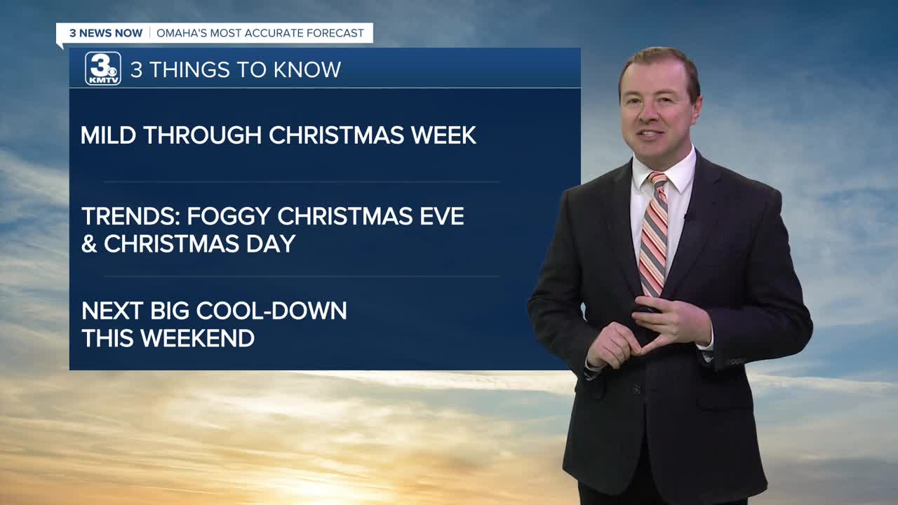


3 THINGS TO KNOW:
- Slightly cooler, but in the 50s Tuesday
- Foggy conditions may keep Christmas cooler than expected
- Mostly dry until after this weekend
FORECAST:
Christmas week is looking not just warmer than average for this time of December, when the average highs are now around 36 degrees, but near some of our record highs.
Records
Monday : 63 (1933)
Tuesday: 67 (1964)
Wednesday: 68 (1889)
Thursday: 57 (1946)
A weak cold front will bring in slightly cooler air overnight. We start out Tuesday with a few clouds, and in the mid 30s.
Tuesday will be a little cooler, but we keep the sunshine with a few extra clouds and highs in the low to mid 50s.
Clouds will begin to build in by Wednesday morning, leaving our skies overcast. There may be a few pockets of drizzle throughout the day, but most will stay dry with highs in the low to mid 50s.
For Christmas Eve evening, there will be some fog building in, lowering visibility on roads Wednesday night.
Christmas Day is now looking cloudy with patchy dense fog around the region, and temps near 40 in the morning. It may take several hours for the fog to clear up, leading to a cooler forecasted temperature than originally expected. Highs on Thursday will be in the mid 50s, if we are able to see enough afternoon sunshine.
Sunshine will be back on Friday, with highs in the mid 50s.
Changes will be on the way over the weekend. Saturday will be partly sunny, in the low 50s, followed by mid 30s on Sunday with gusty north winds. The week looks to stay dry for now, but some better chances for rain, or snow will be next week.
MONDAY NIGHT
Partly Cloudy
Getting Cooler
Low: 35
Wind: NW 5-10
TUESDAY
Partly Sunny
Slightly Cooler
High: 54
Wind: N 5-10
WEDNESDAY
Cloudy
Foggy with Drizzle
High: 53
Wind: S 5-10
Share your weather pictures with KMTV:
- Email to News@3newsnow.com
- 3 News Now Facebook page
- Use the hashtag #3NewsNow on Instagram or X (formerly Twitter)
