
3 THINGS TO KNOW
- Warmest weekday Wednesday
- Snow showers Thursday morning, delays possible
- Frigid air briefly returns Friday-Saturday
FORECAST
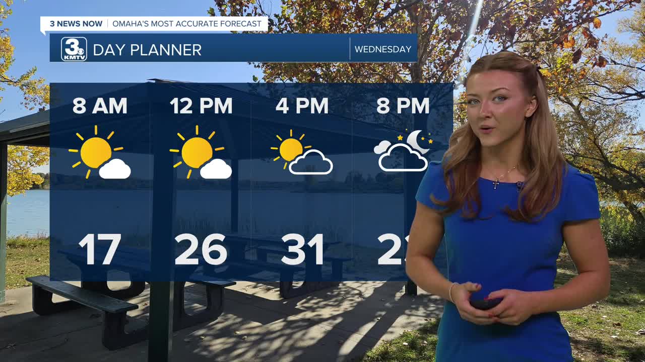
Temps will warm up to the lower thirties by the afternoon, marking Wednesday as our warmest day of the week.
Cloud buildup begins by the afternoon, increasing by Wednesday night followed by a few bands of snow showers.
These move in Thursday morning and will last until the early afternoon. When thinking about your morning commute tomorrow, consider leaving early as visibility could be reduced!
Snow amounts will mostly stay around 1/2" to 1" around the metro area, those on the outskirts may see just a dusting.
After the snow moves out, we're left with some colder temperatures. Thursday's highs will be in the low 20s, followed by highs only in the 10s on Friday. We may drop below zero Friday night.
Heading into the weekend, there is another small chance for some light snow on Saturday and snow on Sunday. Some small snow amounts will be possible from this. After staying cold, in the low 20s on Saturday, Sunday will be warmer in the 30s.
If you are wanting even warmer weather, we should have that next week. Starting next Monday, temperatures will be in the 40s.
WEDNESDAY
Mostly Sunny
Not As Cold
High: 31
Wind: Calm
WEDNESDAY NIGHT
Mostly Cloudy
Snow Showers
Low: 12
Wind: NE 5-10
THURSDAY
Mostly Cloudy
AM Snow Showers
High: 22
Wind: NE 5-15
Share your weather pictures with KMTV:
- Email to News@3newsnow.com
- 3 News Now Facebook page
- Use the hashtag #3NewsNow on Instagram or X (formerly Twitter)
