

3 THINGS TO KNOW
- Windy on Friday with gusts up to 50 mph
- Bands of snow possible
- A Frigid, breezy Saturday in the 10s
FORECAST
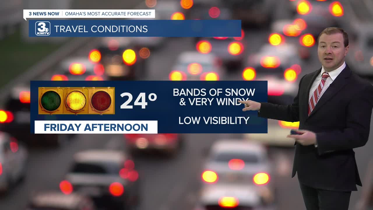
A cold front will reach Omaha on Friday, bringing high winds and another shot of cold air into the region. Temperatures will slowly drop through the day, from the low 30s in the morning to the 20s in the afternoon, we bottom out at around 5-10 degrees by Saturday morning.
HIGH WINDS are expected on Friday, with gusts out of the north at around 45-50 mph. Some of these gusts could approach 60 mph across central Nebraska.
We could see a few spotty snow showers on Friday and Friday night. Brief reductions in visibility with the wind are possible. Accumulations appear to only be around a dusting at this time.
The weekend will start frigid around the region, and still windy Saturday with highs in the 10s.
Sunday will be a little warmer, still breezy, and closer to normal with highs near 35 degrees.
We get yet another cold front Sunday night that drops us in the low 20s for Monday of next week. The wind should be lighter by Monday.
The middle of next week will be a little quieter for the region. Temperatures from Tuesday - Thursday will be in the mid 30s with partly cloudy skies. There could be a chance at winter weather by the end of the week.
FRIDAY
Windy
Bands of Snow
PM Temp: 24
Wind: NW 30-50
SATURDAY
Partly Cloudy
Cold & Windy
High: 14
Wind: NW 25-45
Share your weather pictures with KMTV:
- Email to News@3newsnow.com
- 3 News Now Facebook page
- Use the hashtag #3NewsNow on Instagram or X (formerly Twitter)
