

3 THINGS TO KNOW:
- Wintry mix north of Omaha Thursday
- Chance of light snow Saturday morning
- Briefly frigid again Saturday night
FORECAST:
Skies will remain cloudy Wednesday night with pockets of snow flurries possible. We'll be down in the mid 20s by Thursday morning
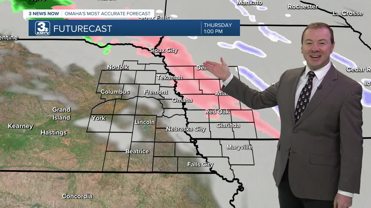
Thursday will be cloudy with highs in the upper 30s. A light wintry mix is possible, mainly northeast of Omaha, where air temperatures will struggle to warm above freezing. Most of us will be dry. For those who do see the mix, it likely won't amount to much.
Another cold front will reach Omaha on Friday, kicking up the winds and sending in more arctic air for the weekend. Friday's highs will be in the upper 20s.
Confidence has increase in the chance at light accumulating snow late Friday night through Saturday morning. Most will see an inch, or less of snowfall. Like last weekend, Iowa's neighborhoods north and east of Omaha will have the greatest chance to see accumulations. If you are south of Omaha, you may not see any snow at all.
Highs on Saturday will be in the 10s with lows near 0 on Saturday night. By Sunday, we are mostly sunny and back in the low 20s.
Warmer weather will return early next week. Temperatures will be back in the 40s by Monday and Tuesday. Omaha's average high temperature for mid December is 39 degrees. There are small chances at rain in the middle of next week.
WEDNESDAY NIGHT
Mostly Cloudy
Snow Flurries
Low: 22
Wind: N 5-15
THURSDAY
Mostly Cloudy
Wintry Mix NE of Omaha
High: 39
Wind: N 5-15
THURSDAY NIGHT
Mostly Cloudy
Snow Flurries
Low: 23
Wind: N 5-15
FRIDAY
Cloudy
Breezy
High: 26
Wind: NW 15-25
Share your weather pictures with KMTV:
- Email to News@3newsnow.com
- 3 News Now Facebook page
- Use the hashtag #3NewsNow on Instagram or X (formerly Twitter)
