



3 Things to Know
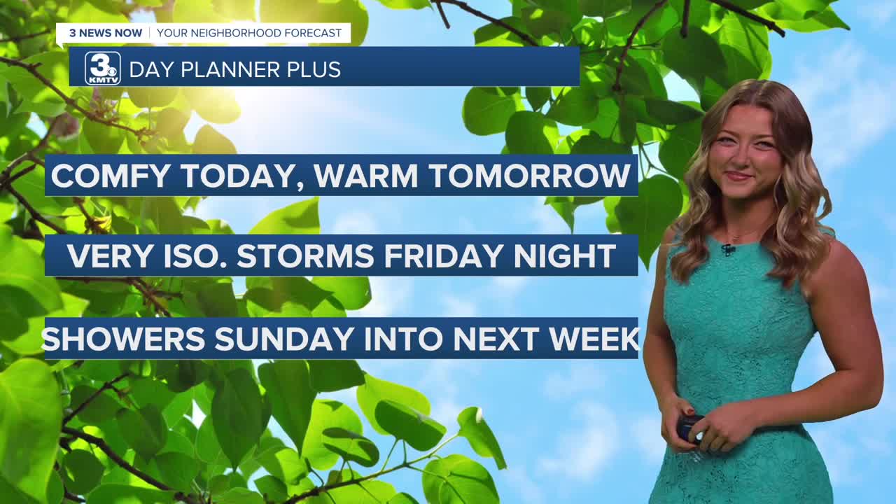
- Very comfy Thursday!
- More storms possible Friday night, this weekend
- Near/cooler than average through next week
Forecast
Our Thursday afternoon looks fairly similar to our Wednesday, with more highs in the lower 80s for most! That's right around average for this time of year. We'll remain dry overnight with lows dipping to the mid 60s.
Friday could get pretty warm before another system moves into the region. It may be a bit of a breezy Friday afternoon with south winds at 15-25 MPH. Temps by the afternoon could get to near 90 degrees.
Of course we've got some high school football games Friday evening, and while there is a small possibility of seeing some storms around the evening hours, these chances look fairly low. Most should stay dry into Friday evening with temps dipping as another cold front moves through the region.
This weekend does have some more rain possible. Some rain may linger around early Saturday, but the rest of the day looks mostly cloudy and mostly dry. For the Husker's game on Saturday evening, plan for some clouds and temps in the 70s. For now, the game should be dry.
After Saturday, it looks like our rainy pattern picks up quite a bit. We could see showers as early as Sunday morning, lasting until the afternoon/evening hours. Expect the low 80s on Sunday and Monday, with even more showers or storms expected Monday as well.
We'll continue with temps in the upper 70s and lower 80s as we head into next week, and there is more rain possible on Tuesday and Wednesday.
THURSDAY
Sunny
Cooler, Near Average
High: 83
Wind: E 5-10
THURSDAY NIGHT
Still Cool!
Clear Skies
Low: 64
Wind: N 5-10
FRIDAY
Partly Sunny
Breezy
Late-Eve Storms
High: 87
Wind: S 15-25
Share your weather pictures with KMTV:
- Email to News@3newsnow.com
- 3 News Now Facebook page
- Use the hashtag #3NewsNow on Instagram or X (formerly Twitter)
