

3 THINGS TO KNOW
- Monday morning wind chills from -20 to -30
- Warmer, but seasonally cold this week
- Small (20%) chance for light snow Thursday
FORECAST
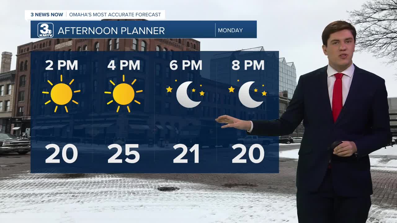
The negative temperatures this Monday morning give us a little reminder of the frigid cold and wind chills from last week. However, once we hit the afternoon, sunshine begins to take over. Winds from the SW help those temps bump back into cooler seasonal numbers, around the mid-20s.
This evening, a cold front sweeps across the northern Midwest. This causes winds to shift from the NW, keeping the atmosphere drier, and holding Tuesday highs around the mid-20s once again.
The sunshine is short-lived as clouds roll back in beginning on Wednesday and Thursday. Some models show some light snowfall in the western portion of the state, though these chances remain low.
Wednesday will be the warmest day of the week with highs cracking the 30s for the first time in several days.
It will be colder on Thursday with highs in the mid-20s, dropping further to near 20 degrees by Friday.
Heading into the weekend, there is another small chance for some light snow. We should be a little warmer, near 30 on Saturday and near 40 by Sunday.
MONDAY
Mostly Sunny
Breezy
High: 25
Wind: S 20-35
MONDAY NIGHT
Mostly Clear
Cold
High: 12
Wind: NW 5-15
TUESDAY
Mostly Sunny
Chilly
High: 26
Wind: NW 5-15
WEDNESDAY
Partly Cloudy
Not As Cold
High: 31
Wind: NW 5-15
Share your weather pictures with KMTV:
- Email to News@3newsnow.com
- 3 News Now Facebook page
- Use the hashtag #3NewsNow on Instagram or X (formerly Twitter)
