

Skies will be partly to mostly clear overnight. We will cool off into the low to mid 60s for Tuesday morning. Some in western Iowa my wake up in the upper 50s.
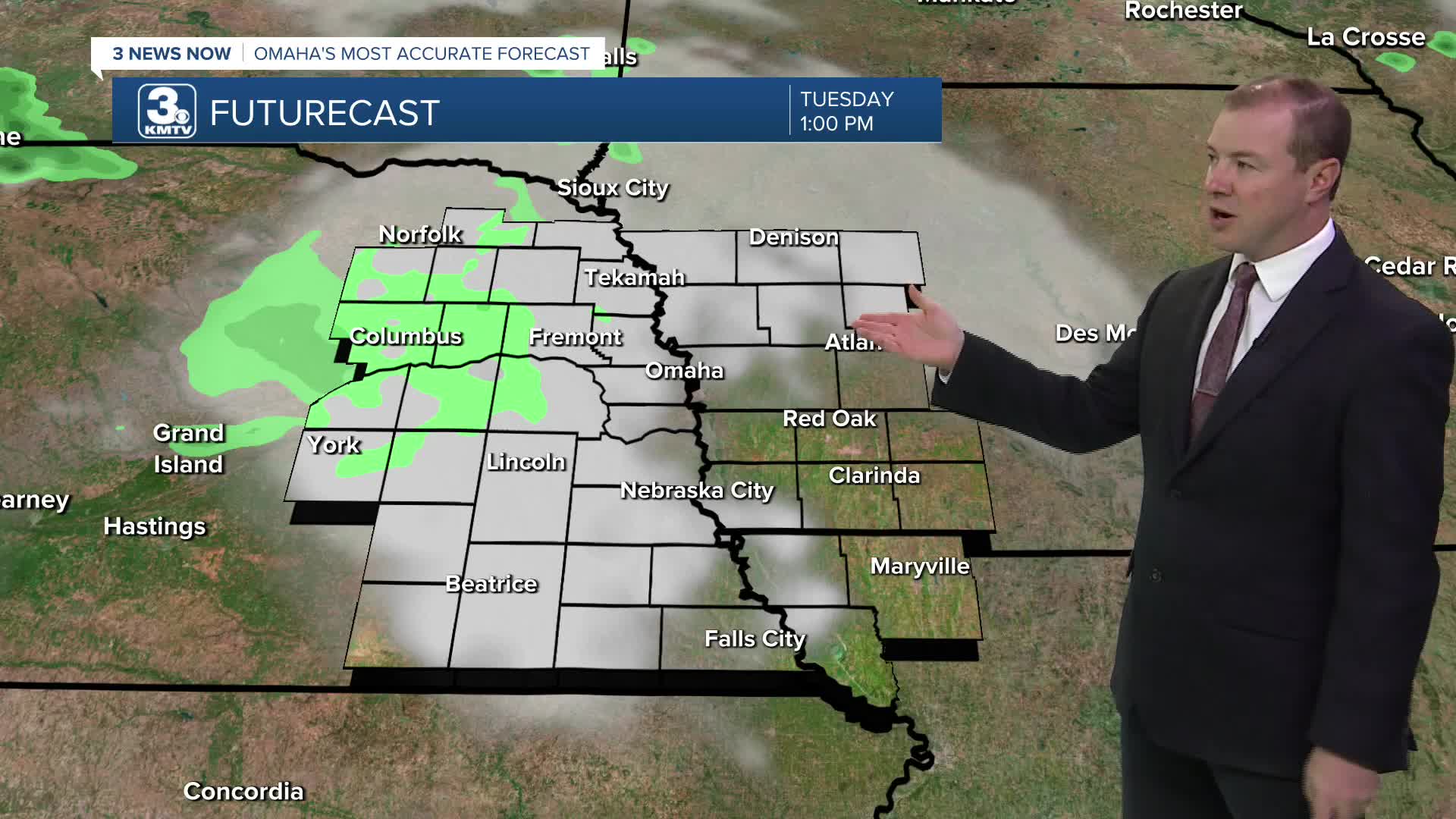
Tuesday will be partly cloudy with a little more heat and a little more humidity. Highs will be in the mid 80s. By late afternoon, spotty showers and storms will start to move into eastern Nebraska from the west. Scattered storms will likely hit more neighborhoods heading into Tuesday night, which may now last into Wednesday morning.
We've increase rain chances for Wednesday, mainly for the morning. But, a few spotty storm may linger into the afternoon. It will be a breezy and humid day with upper 80s.
A few more scattered showers and storms will become possible Wednesday night and into Thursday morning. This is as a warm front moves through the region. Clouds and any lingering rain should clear up pretty quickly Thursday morning, and we quickly heat back up into the low 90s with mostly sunny skies and breezy winds Thursday afternoon.
Friday will be mostly sunny and breezy with mid 90s across eastern Nebraska and low 90s across western Iowa.
Showers and storms become more likely on Saturday as our next cold front arrives. Depending on the exact timing of things, we could still make it into the upper 80s to low 90s. As for now, the best time to see rain reach Omaha would be in the send half of the day.
After some rain and storms Saturday night, we start to dry out Sunday. It will be cooler, in the mid 80s with a little more sunshine.
TUESDAY
Partly Cloudy
Scattered P.M. Storms
High: 84
TUESDAY NIGHT
Mostly Cloudy
Scattered Storms
Low: 68
WEDNESDAY
Partly Cloudy
Spotty Rain/Storms
Breezy
High: 87
THURSDAY
Partly Cloudy
Breezy
High: 91
Share your weather pictures with KMTV:
- Email to News@3newsnow.com
- 3 News Now Facebook page
- Use the hashtag #3NewsNow on Instagram or X (formerly Twitter)
