

3 THINGS TO KNOW
- Getting Warmer Sunday; records on Monday
- Record highs possible Monday
- River Flood Watch due to Ice Jam Risk
FORECAST
Despite a colder morning, temperatures have rebounded this afternoon to the upper 40s. This warmer air will only accelerate over the next few days.
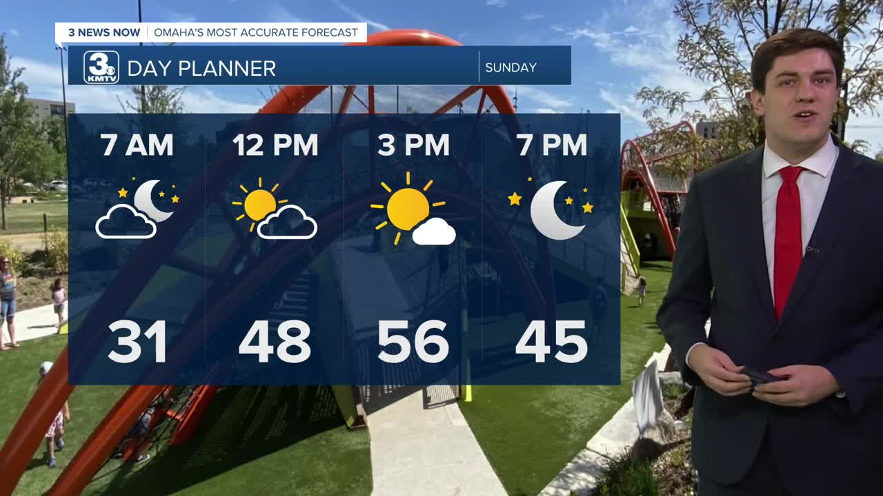
We'll end the weekend mostly sunny and less windy with highs in the upper 50s; some spots in eastern Nebraska could climb into the 60s!
Record highs are possible on Monday as we start next week in the mid to upper 60s! Some in eastern Nebraska may even hit 70. Some of our records for 2/9 are:
Omaha: 63
Lincoln: 68
Norfolk: 68
Atlantic, IA: 59
Carroll, IA: 62
With these warmer temperatures comes the threat of ice jams. A flood watch is in effect for Platte, Elkhorn, and Loup Rivers for the foreseeable future.
A cold front will move through the region Monday night, kicking up a gusty north breeze for Tuesday, and it will be colder out, in the mid-50s.
For now, rain and snow chances look very low for the region next week, but we could see a few small chances of rain on Thursday and Friday Temperatures in the middle of the week will be in the upper 40s, which may be too warm for snow to mix in.
SUNDAY
Mostly Sunny
Warmer
High: 58
Wind: W 5-15
SUNDAY NIGHT
Mostly Clear
Chilly
Low: 32
Wind: SW 5-15
MONDAY
Mostly Sunny
Record Highs
High: 69
Wind: SW 10-20
TUESDAY
Partly Cloudy
A Touch Cooler
High: 56
Wind: N 5-15
Share your weather pictures with KMTV:
- Email to News@3newsnow.com
- 3 News Now Facebook page
- Use the hashtag #3NewsNow on Instagram or X (formerly Twitter)
