

3 Things to Know
- Milder and drier Sunday-Tuesday
- Hot with some AM storms Wednesday
- Another round of storms by next weekend
Forecast
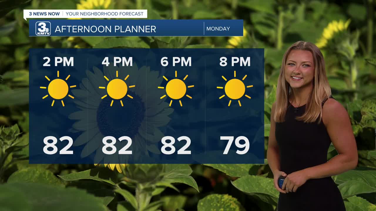
You couldn't write up a better forecast for baseball over the next couple of days. Temps for both our Monday and Tuesday afternoon will only climb up to the lower 80s, with partly cloudy skies and a light breeze.
We may see a few spot showers around Tuesday morning, but most of us will be dry.
Wednesday could be the hottest day of the week, with highs in the upper 80s to low 90s. However, a complicating factor is the potential for thunderstorms, mainly on Wednesday morning. These storms may pose a severe risk, though as of now, the highest severe risk appears to be east of Omaha.
A cold front comes through after those storm chances That'll be a classic cold front passage with some stronger winds coming from the northwest, helping to usher in some cooler air within the following days.
We dry out for Thursday and Friday, and temperatures also fall a bit, back into the 80s.
More storms are possible on Saturday as another system takes shape. Temperatures hold in the low 80s.
MONDAY
Mostly Sunny
Warmer
High: 82
Wind: W 15-20
SUNDAY NIGHT
Partly Cloudy
Small chance for spot showers
Low: 59
Wind: NW 5-15
TUESDAY
Partly Cloudy
Warm
High: 82
Wind: NW 15-25
WEDNESDAY
Partly Cloudy
Morning Storms
High: 90
Wind: NW 15-35
Share your weather pictures with KMTV:
- Email to News@3newsnow.com
- 3 News Now Facebook page
- Use the hashtag #3NewsNow on Instagram or X (formerly Twitter)
