



3 Things to Know
- Beautiful evening for FNL!
- Hot & breezy this weekend
- Scattered storms possible Saturday morning
Forecast
We almost made it to the weekend, but some of us probably aren't looking forward to these upcoming afternoon highs. Let's focus on our Friday first!
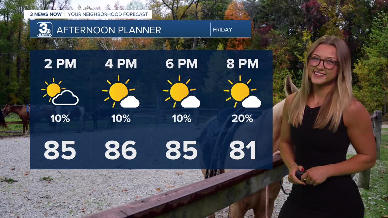
Friday will be a little warmer, and we'll end the week with more sunshine and temps in the mid to upper 80s. It may be a little breezy by the afternoon. Some neighbors north of Omaha have the possibility of seeing one or two pop up showers on Friday evening. Luckily, most of us here in the metro will stay dry, perfect for a Friday evening football game!
Things will really heat up this weekend. There's a chance we could wake up with thunderstorms on Saturday morning as a warm front moves through the region. The rest of the day will be partly sunny, breezy and humid with highs in the low 90s. Winds could be as gusty as 35 MPH, heat index values return to the upper 90s.
Sunday may get HOT. For now, we'll keep the chance at rain under 20-30%, with the small possibility of seeing spotty showers at any given point of the day. We could reach the mid to upper 90s due to breezy winds and lower humidity across the region. Due to the lower humidity, heat indices will be around 95-100.
Slightly cooler air will move in by Monday, which could lead to a few stray thundershowers. Temps on Monday and Tuesday will be closer to 90 degrees. There's a good chance for more rain towards the end of next week.
FRIDAY
Mostly Sunny
Warm
High: 86
Wind: SE 10-15
FRIDAY NIGHT
Partly Cloudy
Pretty Warm
Low: 71
Wind: SW 5-10
SATURDAY
Warming Up!
Spotty AM Storms
High: 91
Wind: S 15-35
Share your weather pictures with KMTV:
- Email to News@3newsnow.com
- 3 News Now Facebook page
- Use the hashtag #3NewsNow on Instagram or X (formerly Twitter)
