

3 THINGS TO KNOW:
- Slightly cooler, but in the 50s on Tuesday
- Clouds & patchy fog to keep the holidays a bit colder
- Mostly dry until after this weekend
FORECAST:
A weak cold front is bringing in slightly cooler air overnight. We start Tuesday with a few clouds and in the mid-30s.
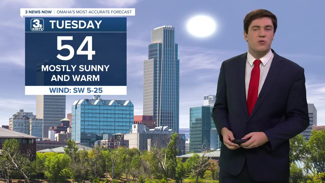
Tuesday will be a little cooler, but we keep the sunshine with a few extra clouds and highs in the low to mid-50s.
Clouds will begin to build in by Wednesday morning, leaving our skies overcast. There may be a few pockets of drizzle throughout the day, but most will stay dry. Some of these clouds may begin to erode by the afternoon, which could bring us into the low 50s.
The clouds & fog return Christmas Eve night (like the song...), and these will be around on Christmas Day. This will prevent us from truly warming much during the day, and we top out in the upper 40s to low 50s. Some areas of drizzle are possible, too, but many stay dry.
Sunshine will be back on Friday, with highs in the upper 50s.
Winter returns this weekend. Saturday will be partly sunny, in the low 50s, followed by low 30s on Sunday with gusty north winds. The week looks to stay dry for now, but some better chances for rain, or snow will be next week.
TUESDAY
Mostly Sunny
Slightly Cooler
High: 54
Wind: N 5-10
MONDAY NIGHT
Increasing Clouds
Chilly
Low: 36
Wind: NW 5-10
CHRISTMAS EVE
Mostly Cloudy
Foggy with Drizzle
High: 52
Wind: SW 5-10
CHRISTMAS
Cloudy
Foggy with Drizzle
High: 49
Wind: SE 5-10
Share your weather pictures with KMTV:
- Email to News@3newsnow.com
- 3 News Now Facebook page
- Use the hashtag #3NewsNow on Instagram or X (formerly Twitter)
