

3 THINGS TO KNOW
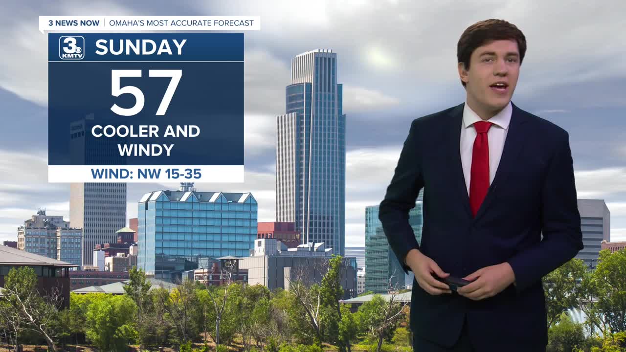
- Cooler and windy for Sunday
- Clouds and some rain on Monday
- Warming up again into midweek
FORECAST
An overnight cold front passed by, ending the early-season heatwave. Highs on Sunday will drop back into the upper 50s with some clouds. There is no rain expected with this cold front. However, wind returns (30-40 mph gusts), bringing high fire danger. Avoid outdoor burning or anything that could start a fire.
Clouds move in on Monday, and some computer data hints at some light rain associated with it. It may be too dry for much of it to reach the ground, but a few neighborhoods could see some raindrops.
Once the clouds move on by, we start another warming trend on Tuesday as highs climb back to 70.
Wednesday gets even warmer with a high near 80.
Another front passes through on Thursday, bringing with it a small chance of rain, more wind, and cooler air.
For the weekend, we will be in the 50s and dry.
SUNDAY
Partly Sunny
Cooler & Windy
High: 57
Wind: N 25-40
SUNDAY NIGHT
Partly Cloudy
Cold
Low: 32
Wind: NW 5-15
MONDAY
Mostly Cloudy
Small Rain Chance
High: 56
Wind: E 5-15
TUESDAY
Mostly Cloudy
Warmer
High: 70
Wind: SE 5-10
Share your weather pictures with KMTV:
- Email to News@3newsnow.com
- 3 News Now Facebook page
- Use the hashtag #3NewsNow on Instagram or X (formerly Twitter)
