

3 THINGS TO KNOW
- Temps gradually incline through the weekend
- Records possible on Monday
- Midweek changes possible
FORECAST
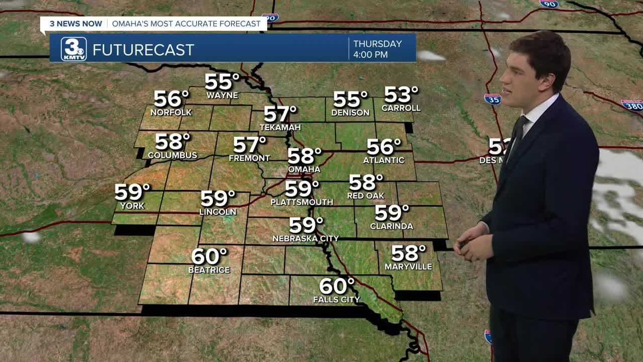
Our warm weather stretch continues on Thursday with the upper 50s, and Friday we climb back into the 60s.
A storm system will pass to our south on Saturday, but it may be close enough to bring some clouds or a shower near Falls City. Otherwise, highs will still be warm in the low 60s.
With the sunshine returning on Sunday, we get even warmer with highs cresting the low 60s.
Monday's record is already at risk with the forecast high of 64. The record is 67, set in 2017. Tuesday keeps the upper 60s going.
By midweek next week, some signs indicate a storm system tracking across the country, which may bring us some precip chances by Wednesday and likely end the above-average conditions.
THURSDAY
Partly Cloudy
Comfy
High: 58
Wind: S 5-10
THURSDAY NIGHT
Mostly Clear
Chilly
Low: 28
Wind: S 5-10
FRIDAY
Mostly Sunny
Comfy
High: 60
Wind: ESE 5-10
SATURDAY
Mostly Cloudy
Small Rain Chance South
High: 60
Wind: S 5-10
Share your weather pictures with KMTV:
- Email to News@3newsnow.com
- 3 News Now Facebook page
- Use the hashtag #3NewsNow on Instagram or X (formerly Twitter)
