

Thursday will be partly cloudy, breezy and warmer with mid 70s and lower humidity. The wildfire smoke will hang around today, lowering air quality for those sensitive to smoke.
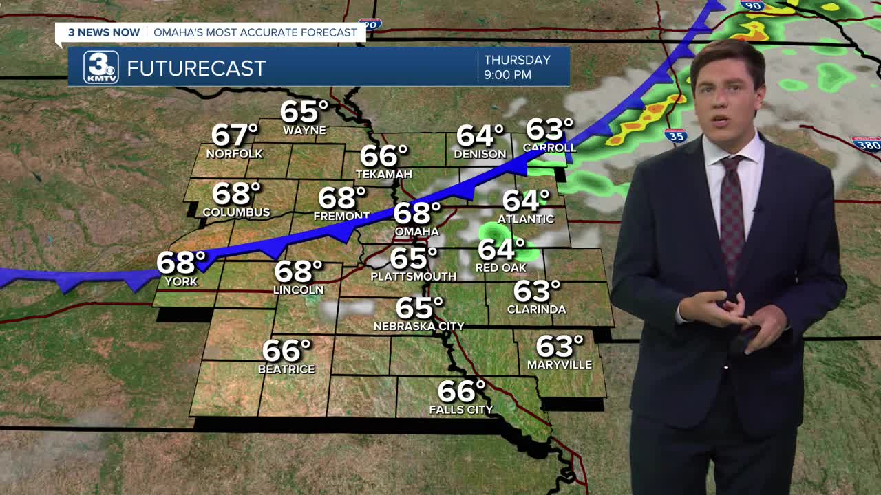
Another cold front moves in Thursday night. This one will bring some hit and miss storms this evening. A lot of this rain will stay mainly stay in our western Iowa neighborhoods. This cold front will also clear out the wildfire smoke.
There could be a couple leftover showers south of I-80 Friday morning, but the rest of us will be mostly sunny and dry as the day gets going. It will be breezy as cooler air moves in behind the front, dropping highs into the upper 60s for Friday afternoon, followed by low to mid 40s heading into Saturday morning. Omaha's record low for 9/6 is 43º, set in 1956.
Saturday will be mostly sunny with highs only in the upper 60s over western Iowa, and nearing 70 over much of eastern Nebraska. If you're heading to the Huskers/Zips game in Lincoln, highs will be in the low 70s there.
Sunday will start cold again, near record lows in the low to mid 40s, before warming back up to low 70s in the afternoon with more sunshine.
Clouds will slowly start to move in as things begin to warm back up to normal next week. Monday will be partly cloudy with a very small chance at rain, and mid 70s, followed by upper 70s on Tuesday.
We'll keep the chance for rain around for next Wednesday, with highs nearing 80.
THURSDAY
Partly Cloudy
Smoky
Spotty Rain/Storms Late
High: 74
THURSDAY NIGHT
Partly Cloudy
Spotty Rain
Breezy
Low: 52
FRIDAY
Mostly Sunny
Cool
High: 67
SATURDAY
Mostly Sunny
Below Average
High: 69
Share your weather pictures with KMTV:
- Email to News@3newsnow.com
- 3 News Now Facebook page
- Use the hashtag #3NewsNow on Instagram or X (formerly Twitter)
