

3 THINGS TO KNOW
- Cooler, but still above average the rest of the week
- Flood Watch until Tuesday afternoon due to Ice Jam risk
- Small chance at rain Thursday & Saturday
FORECAST
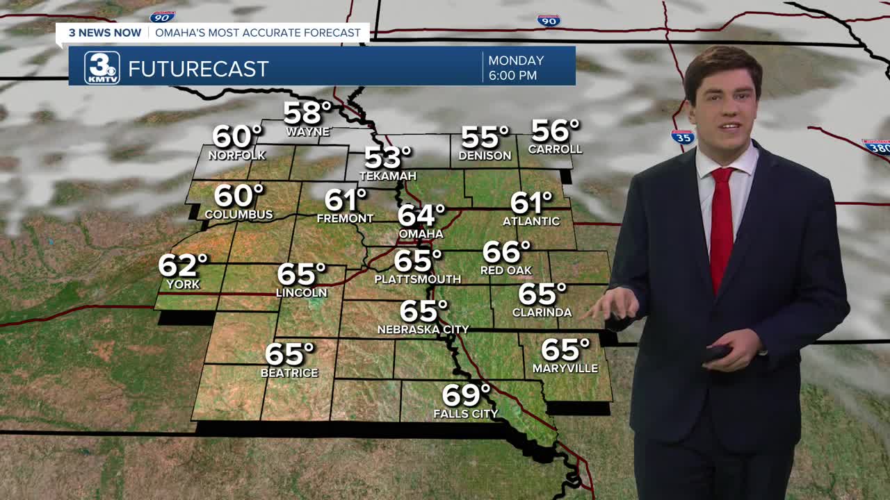
As expected, we shattered record high temperatures on Monday, with Omaha climbing up to 75 degrees! The old record, 63 (1954), did not stand a chance.
With the warm weather, ice movement on the rivers is possible, and a Flood Watch is in effect through Tuesday afternoon for this risk. Ice jams can occur with little warning, so anyone with interests along the river should pay attention.
After Monday's warmth, reality settles in for the rest of the week, but we will be above average. Tuesday will have highs in the low 50s under a partly cloudy sky, and Wednesday holds in the low 50s.
There is a small chance of rain on Thursday, but most of this will stay to our east. With highs in the low-to-mid 50s, this is expected to stay all rain.
We have another small chance of rain on Saturday too, but this may stay to our south.
Signals show another warmup by the end of the weekend, with Sunday returning to the mid-50s.
MONDAY NIGHT
Partly Cloudy
Chilly
Low: 33
Wind: NW 5-25
TUESDAY
Partly Cloudy
Pleasant
High: 52
Wind: N 5-15
WEDNESDAY
Partly Cloudy
Above Average
High: 50
Wind: SE 5-10
THURSDAY
Partly Cloudy
Small Rain Chance
High: 54
Wind: SE 5-10
Share your weather pictures with KMTV:
- Email to News@3newsnow.com
- 3 News Now Facebook page
- Use the hashtag #3NewsNow on Instagram or X (formerly Twitter)
