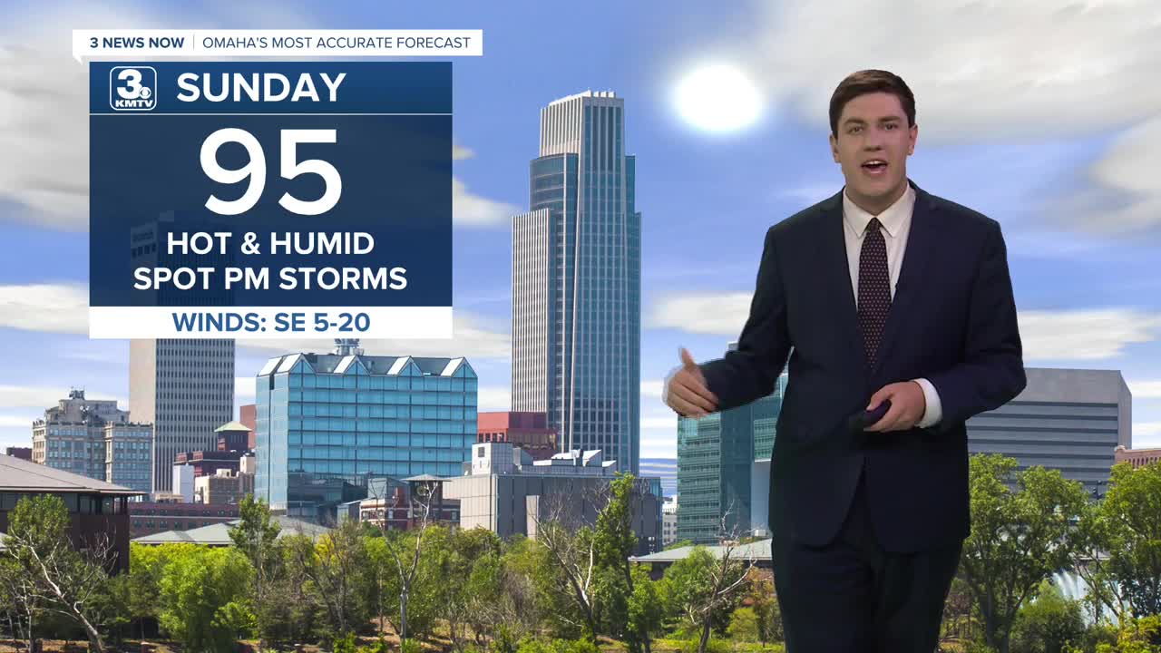


Sunday brings a few more clouds, but there will still be plenty of sunshine as we reach the mid 90s with heat indices again near 105 in the afternoon. Later in the day, a few isolated showers and storms may bubble up in the afternoon heat and humidity over northeast Nebraska.
Showers and storms will become more possible on Sunday night and Monday as a cold front begins to inch closer to Omaha. We should stay dry enough to reach the low 90s Monday afternoon before scattered storms arrive heading into Monday night.
By Tuesday, the cold front will start to move through the region, bringing a slight chance of storms. It will be partly cloudy with highs in the upper 80s.
Wednesday and Thursday begins the cool-down, and it should begin to be less humid outside by mid-week, too. Highs will be in the mid 80s through Friday, followed by low 80s heading into next weekend.
SUNDAY
Partly Sunny
Humid
Isolated PM Storms
High: 95
SUNDAY NIGHT
Mostly Cloudy
Rain & Storms
Low: 77
MONDAY
Partly Sunny
Spotty PM Storms
High: 93
TUESDAY
Partly Cloudy
Spotty Storms
High: 88
Share your weather pictures with KMTV:
- Email to News@3newsnow.com
- 3 News Now Facebook page
- Use the hashtag #3NewsNow on Instagram or X (formerly Twitter)
