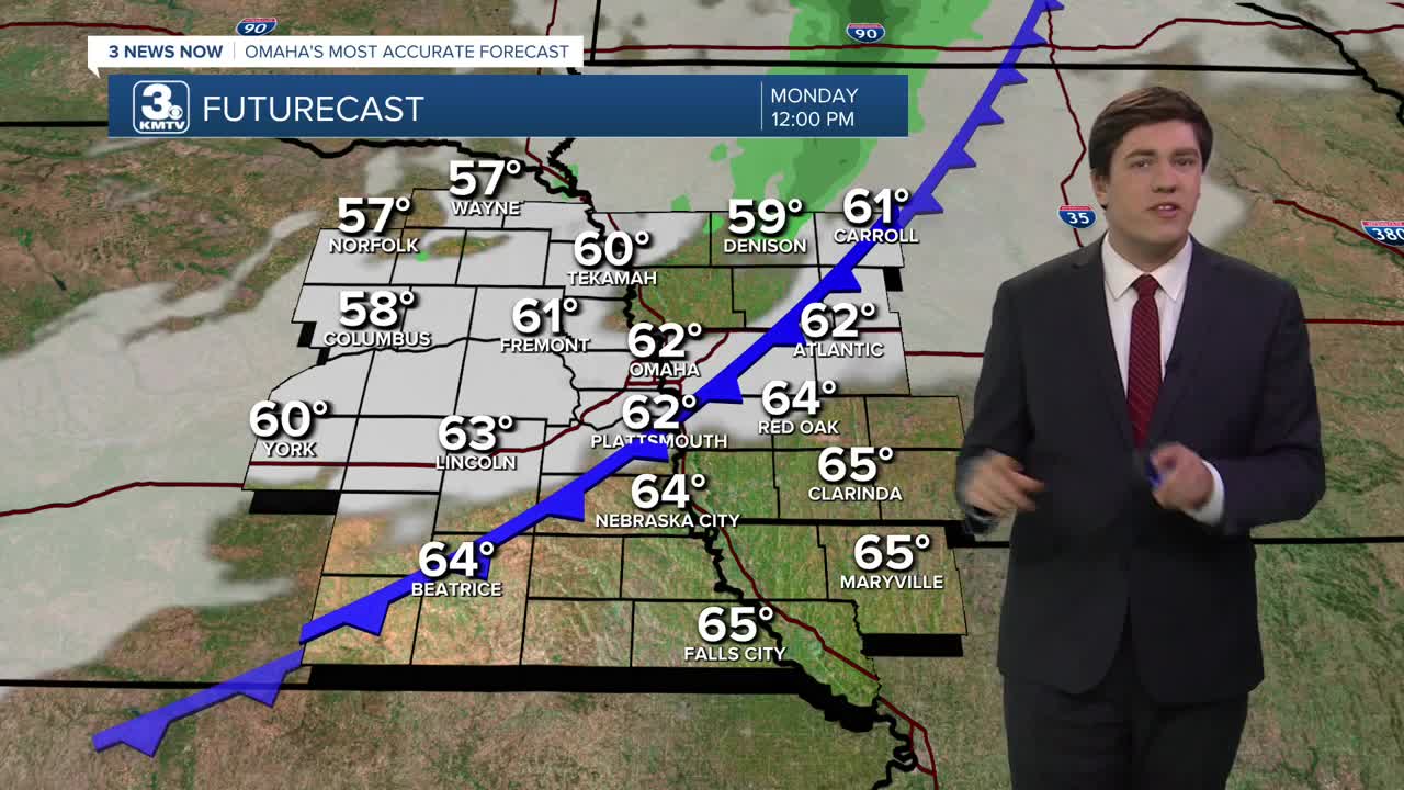


As a cold front approaches on Monday, it will get windy & a bit warmer as highs reach the upper 60s. The wind could heighten fire danger across the area, so avoid any outdoor burning. As the cold front passes, it will bring some clouds with it, but any rain with it looks very low.
It remains windy on Tuesday (30-40 mph), which keeps the fire risk going despite the cooler weather as highs only reach the upper 50s.
Tuesday night we will see temperatures drop into the middle 30s, which will bring us our first widespread frost of the season. Bring in or cover any sensitive plants, add a layer of mulch for insulation, or deeply water 24-48 hours before the frost.
Wednesday night will get cold enough for frost, too, after reaching the middle 60s for a high.
We hold in the lower 60s on Thursday as clouds start to move in from the west.
A storm system Friday will keep us cloudy, and perhaps bring some rain to those south of I-80, but many look to stay dry.
The clouds linger into the weekend as highs stay in the low 60s.
MONDAY
Partly Cloudy
Windy
High: 69
MONDAY NIGHT
Mostly Clear
Cool
Low: 44
TUESDAY
Mostly Sunny
Windy
High: 59
WEDNESDAY
Mostly Sunny
AM Frost
High: 64
Share your weather pictures with KMTV:
- Email to News@3newsnow.com
- 3 News Now Facebook page
- Use the hashtag #3NewsNow on Instagram or X (formerly Twitter)
